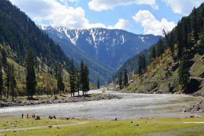
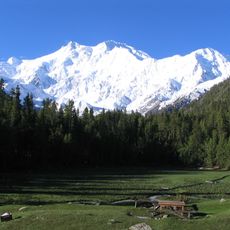
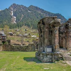
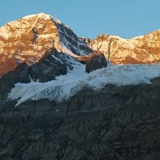
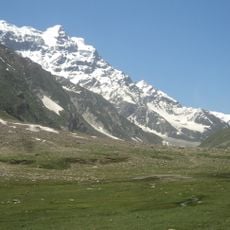
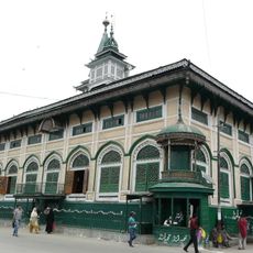
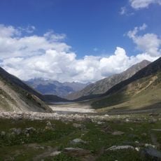
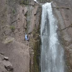
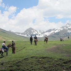
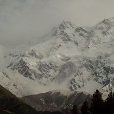
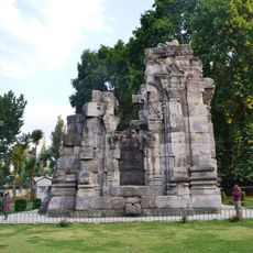
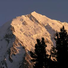
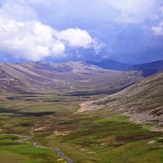
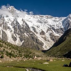
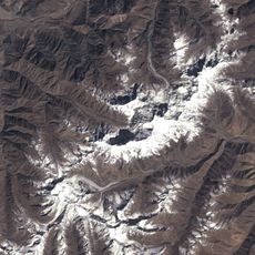
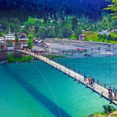
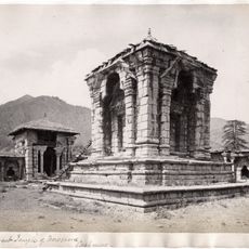
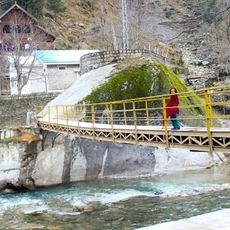
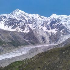
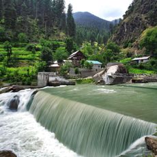
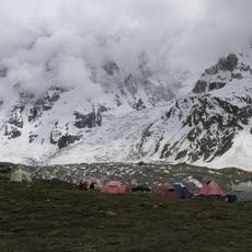
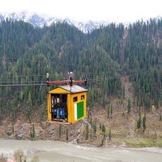
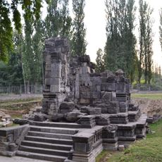
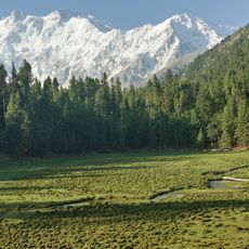
Sharda Tehsil, tehsil of Neelum District, Azad Kashmir, Pakistan
Location: Neelum District
Capital city: Sharda
GPS coordinates: 34.79417,74.19250
Latest update: March 3, 2025 07:13
Nanga Parbat
61.3 km
Sharada Peeth
315 m
Fairy Meadows
74.8 km
Harmukh Mountain
78.9 km
Malika Parbat
42.9 km
Dastgeer Sahib
73.5 km
Lulusar-Dudipatsar National Park
39.9 km
Makra Peak
68.3 km
Saiful Muluk National Park
47.2 km
Dhani Waterfall
61.7 km
Dudipatsar Trail
37.1 km
Rakhiot Peak
65.7 km
Shankaragaurishvara Temple, Pattan
78.3 km
St. Joseph's Catholic Church
67.3 km
Rupal Glacier
43.8 km
Ganalo Peak
64.1 km
Gittidas
40.4 km
Herrligkoffer base camp
61.8 km
Toshain Glacier
48.8 km
Sharda Bridge
433 m
Vishnu temple, Buniyar
72.3 km
Kundal Shahi Jagran Bridge
42.8 km
Rakhiot Glacier
70.7 km
Kutton Waterfall
42.8 km
Diamir Glacier
59.2 km
Kel-Arang Kel cable car
14.8 km
Sugandhesa Temple
79 km
Fairy Meadows National Park
73 kmReviews
Visited this place? Tap the stars to rate it and share your experience / photos with the community! Try now! You can cancel it anytime.
Discover hidden gems everywhere you go!
From secret cafés to breathtaking viewpoints, skip the crowded tourist spots and find places that match your style. Our app makes it easy with voice search, smart filtering, route optimization, and insider tips from travelers worldwide. Download now for the complete mobile experience.
A unique approach to discovering new places❞
— Le Figaro
All the places worth exploring❞
— France Info
A tailor-made excursion in just a few clicks❞
— 20 Minutes