Enable Location

We need your location to show you interesting places around you

Discover nearby places

Find interesting locations and hidden gems around you

Precise directions

Get accurate directions and distances to places

Your location is never shared with other users. It's only used when you tap the location button.

Uzhur

Log in to your account

Start exploring — it's free

Trusted by 67,781 travelers worldwide

Continue with Google
Continue with Apple
or

We will send you a code to connect

By continuing, you accept our Terms and Conditions and our Privacy Policy

Check your inbox

We've sent a pincode in your inbox. Please enter the code below.

Uzhur
Discussion Reviews 1 Photos
33.1k Popularity

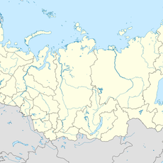
Uzhur, Rural municipality in Krasnoyarsk Krai, Russia

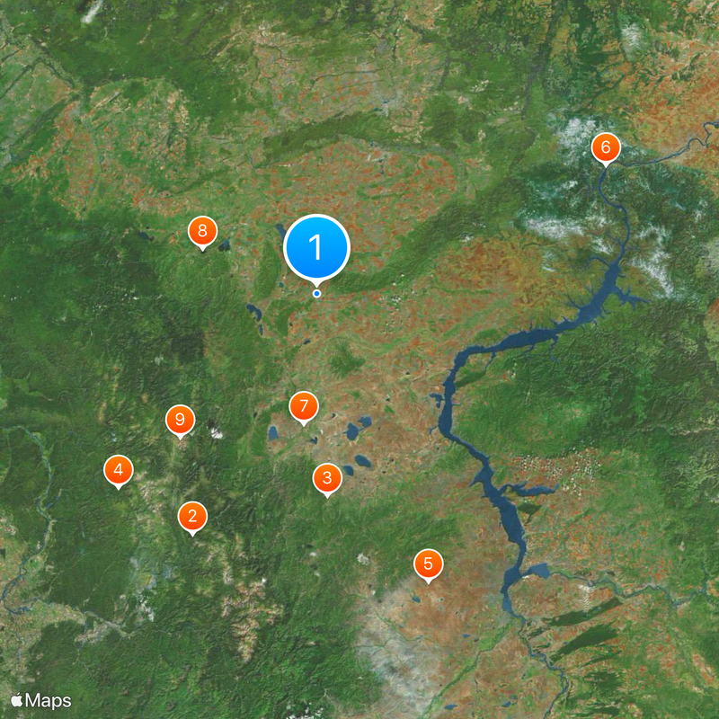
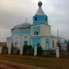
Uzhur is a small town located in Krasnoyarsk Krai in Siberia and sits at an elevation of around 380 meters. It developed as a trading settlement and now serves as a local hub for the surrounding rural areas.

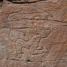
The town was founded in 1760 during Russian territorial expansion and the establishment of new trade routes through Siberia. It quickly developed into an important stopping point for caravans and travelers crossing the region.

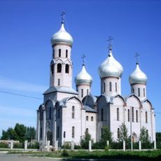
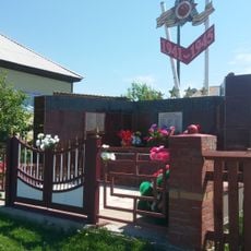
Local residents maintain traditional Siberian customs through regular community gatherings and seasonal celebrations that reflect the region's agricultural heritage.

The town is connected by road to larger urban centers and allows access to nearby settlements. It is best to check road conditions before arrival, especially during winter months when conditions can become challenging.

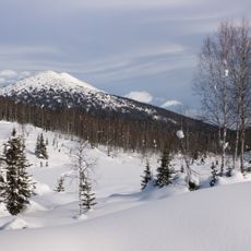
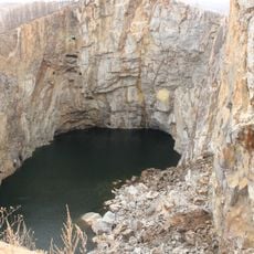
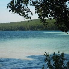
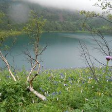
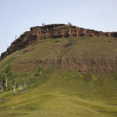
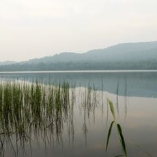
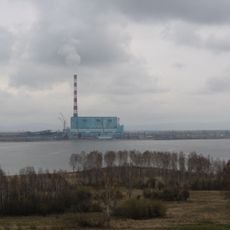
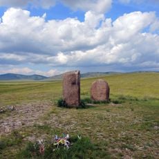
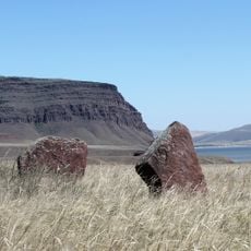
The area is surrounded by several lakes and nature reserves that contrast with the built-up settlement. Small villages like Kulun, Sukhaya Dolina, and Vasilyevka lie nearby and show the pattern of scattered settlement across the Siberian taiga.

The community of curious travelers

AroundUs brings together thousands of curated places, local tips, and hidden gems, enriched daily by 60,000 contributors worldwide.

Start exploring
Location
Городское поселение город Ужур
Inception
1760
Elevation above the sea
380 m
GPS coordinates
55.31667,89.81667
Latest update
December 19, 2025 23:51
Around this place
Kuznetsk Alatau
Russian Federation

Kuznetsk Alatau

148.5 km
Tuim sinkhole
Russian Federation

Tuim sinkhole

110.7 km
Kuznetsk Alatau Nature Reserve
Russian Federation

Kuznetsk Alatau Nature Reserve

151.8 km
Big Salabyk mound
Russian Federation

Big Salabyk mound

169.9 km
Krasnoyarsk Dam ship lift
Russian Federation

Krasnoyarsk Dam ship lift

170 km
Sunduki Range
Russian Federation

Sunduki Range

71.3 km
Ingol
Russian Federation

Ingol

66.2 km
Ivanovskie ozyora
Russian Federation

Ivanovskie ozyora

108.4 km
Boyarskaya Pisanitsa
Russian Federation

Boyarskaya Pisanitsa

144.1 km
Sulek petroglyphs
Russian Federation

Sulek petroglyphs

41.5 km
Russian Federation

Itat Formation

57.7 km
Chebaki fortress
Russian Federation

Chebaki fortress

84.7 km
Музейно-выставочный центр города Назарово
Russian Federation

Музейно-выставочный центр города Назарово

86.5 km
Dikoye Lake
Russian Federation

Dikoye Lake

138.5 km
Beryozovo Reservoir
Russian Federation

Beryozovo Reservoir

56.9 km
Скала Дед (Красноярские столбы)
Russian Federation

Скала Дед (Красноярские столбы)

195.6 km
Holy Trinity Cathedral
Russian Federation

Holy Trinity Cathedral

47.4 km
Библиотека-музей В. П. Астафьева
Russian Federation

Библиотека-музей В. П. Астафьева

187.3 km
Saints Peter and Paul сhurche
Russian Federation

Saints Peter and Paul сhurche

2.2 km
Калининский
Russian Federation

Калининский

168.3 km
3755 км
Russian Federation

3755 км

131.8 km
Oshkol' petroglyphs
Russian Federation

Oshkol' petroglyphs

67.6 km
Eternal Glory Monument, Ust-Abakan
Russian Federation

Eternal Glory Monument, Ust-Abakan

193.9 km
Ivanitsky Estate, Chebaki
Russian Federation

Ivanitsky Estate, Chebaki

92.7 km
Памятник воинам-землякам, погибшим в годы Великой Отечественной войны (Соленоозёрное)
Russian Federation

Памятник воинам-землякам, погибшим в годы Великой Отечественной войны (Соленоозёрное)

65.6 km
Менгиры «Салбыкские ворота» (Вершино-Биджа)
Russian Federation

Менгиры «Салбыкские ворота» (Вершино-Биджа)

167.5 km
Sunduki Petroglyphs
Russian Federation

Sunduki Petroglyphs

74.8 km
Fortress Oglakhty
Russian Federation

Fortress Oglakhty

179.5 km
Show the full map
Reviews
Share your experience

No review yet

Discussions
Start a discussion...

No discussion yet

« Uzhur - Rural municipality in Krasnoyarsk Krai, Russia » is provided by Around Us (aroundus.com). Images and texts are derived from Wikimedia project under a Creative Commons license. You are allowed to copy, distribute, and modify copies of this page, under the conditions set by the license, as long as this note is clearly visible.

Discover hidden gems everywhere you go!

From secret cafés to breathtaking viewpoints, skip the crowded tourist spots and find places that match your style. Our app makes it easy with voice search, smart filtering, route optimization, and insider tips from travelers worldwide. Download now for the complete mobile experience.

Around Us App Screenshot

A unique approach to discovering new places

Le Figaro

All the places worth exploring

France Info

A tailor-made excursion in just a few clicks

20 Minutes

Around Us
Travel Guide & Maps
Download

Send to your phone

QR Code
1

Open the camera app on your mobile.

2

Point at the QR code with your camera. A notification will appear.

3

Tap the notification to open the link.