
Zagedanskoye rural settlement, human settlement in Urupsky District, Karachay-Cherkess Republic, Russia
Location: Urupsky District
Capital city: Zagedan
GPS coordinates: 43.64113,40.87931
Latest update: May 28, 2025 10:52
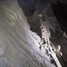
Veryovkina Cave
50.4 km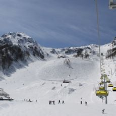
Rosa Khutor Alpine Resort
44.1 km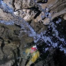
Krubera Cave
49 km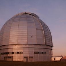
BTA-6
45.2 km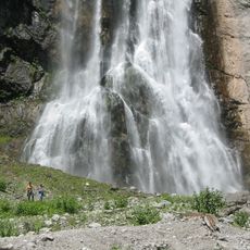
Gega Waterfall
42.1 km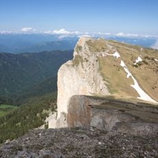
Western Caucasus
19.1 km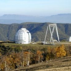
Special Astrophysical Observatory of the Russian Academy of Science
45.2 km
Aibga 1
50.6 km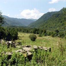
Nizhny Arkhyz archaeological site
48.3 km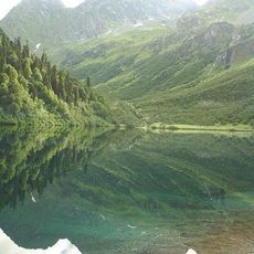
Kardyvach
21.6 km
Teberda National Park
56.4 km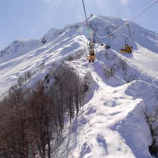
Alpica Service
48.2 km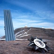
Krona space object recognition station
29.4 km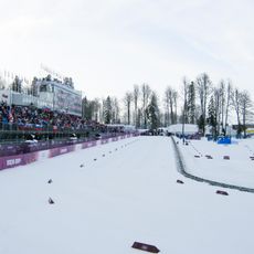
Laura Biathlon & Ski Complex
45 km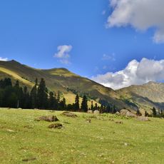
Avadhara
23.6 km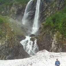
Polikarya
49 km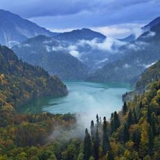
Ritsa Nature Reserve
30.8 km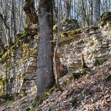
Achipse Fortress
48.8 km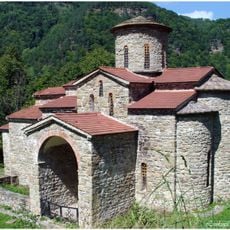
North Church
49.2 km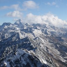
Agepsta
33.7 km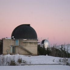
Astronomical station at North Caucasus of Kazan Federal University
44 km
Аквапарк Галактика
48.6 km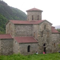
Central Zelenchuksky Church
48.3 km
Pskhu-Gumista Strict Nature Reserve
34.5 km
Mountain Beach
49.8 km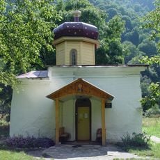
South Zelenchuksky Church
48.3 km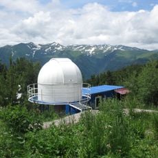
Ka-Dar Observatory
44 km
Mqinvari Aghmosavleti Khimsa
48.3 kmReviews
Visited this place? Tap the stars to rate it and share your experience / photos with the community! Try now! You can cancel it anytime.
Discover hidden gems everywhere you go!
From secret cafés to breathtaking viewpoints, skip the crowded tourist spots and find places that match your style. Our app makes it easy with voice search, smart filtering, route optimization, and insider tips from travelers worldwide. Download now for the complete mobile experience.

A unique approach to discovering new places❞
— Le Figaro
All the places worth exploring❞
— France Info
A tailor-made excursion in just a few clicks❞
— 20 Minutes