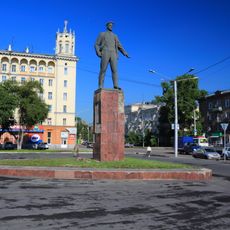
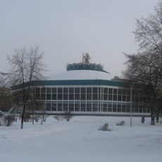
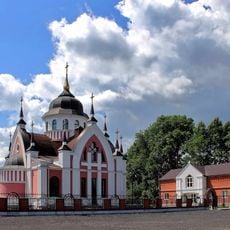
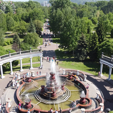
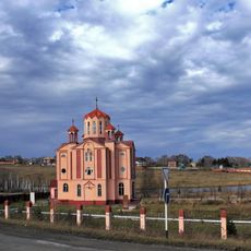
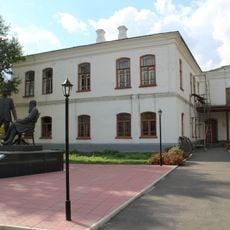
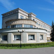
Таштагольське міське поселення, human settlement in Tashtagolsky District, Kemerovo Oblast, Russia
The community of curious travelers
AroundUs brings together thousands of curated places, local tips, and hidden gems, enriched daily by 60,000 contributors worldwide.
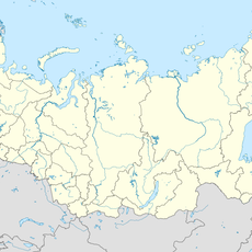
Location
Capital city
Tashtagol
GPS coordinates
52.76000,87.84750
Latest update
March 10, 2025 03:03