
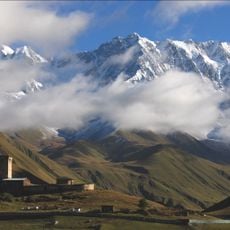
Гуларское сельское поселение, human settlement in Irafsky District, Republic of North Ossetia-Alania, Russia
Location: Irafsky District
Capital city: Dzinaga
GPS coordinates: 42.89761,43.70246
Latest update: April 3, 2025 21:29
Shkhara
49.3 km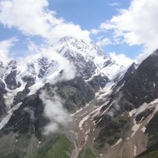
Dykhtau
49.5 km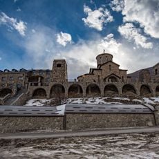
Alan Monastery of the Dormition of the Theotokos
47.7 km
Alaniya National Park
2.5 km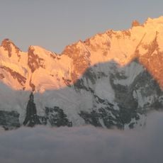
Pushkin
48.8 km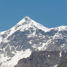
Kabardino-Balkarski Nature Reserve
48.9 km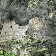
Dzivgis Cave Fortress
50 km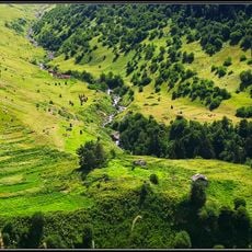
Shovi
21.9 km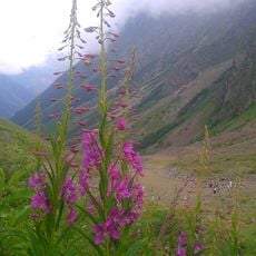
North Ossetia Nature Reserve
29.3 km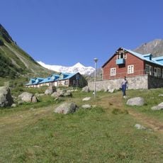
Bezengi alpine camp
51 km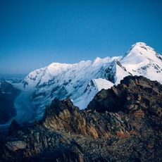
Bezengi Glacier
52.4 km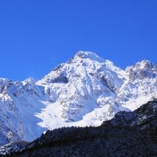
Lednik Tseya
18.9 km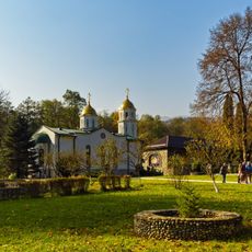
Богоявленский Аланский женский монастырь
43 km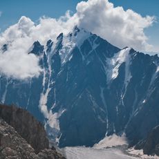
Adaj-Hoh
21.6 km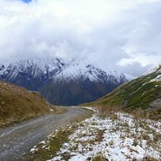
Aylama
43.1 km
Karaugom Glacier
11.2 km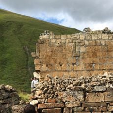
Zrug Church
36.4 km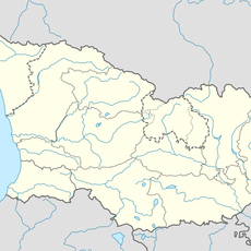
Zilgakhokhi
53.4 km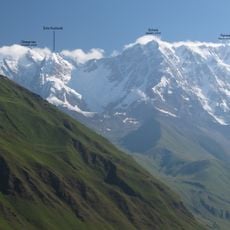
Shota Rustaveli Peak
52.8 km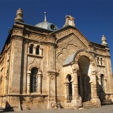
Oni Synagogue
40.4 km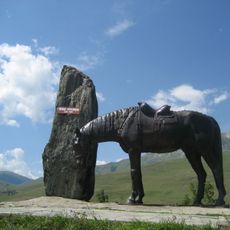
Kurtatinski Askerleri Anıtı
50.2 km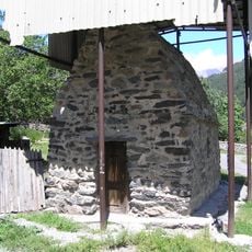
Ნუზალის სამლოცველო
27.5 km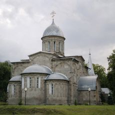
Holy Ascension Cathedral
45.2 km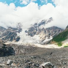
Shkhara Glacier
49.6 km
Glacier Buba
17.2 km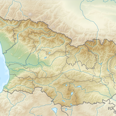
Kirtisho Glacier
11.8 km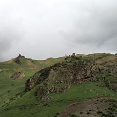
Zhabo-Kala
47.7 km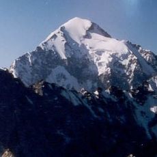
Koshtan-Tau
43.3 kmReviews
Visited this place? Tap the stars to rate it and share your experience / photos with the community! Try now! You can cancel it anytime.
Discover hidden gems everywhere you go!
From secret cafés to breathtaking viewpoints, skip the crowded tourist spots and find places that match your style. Our app makes it easy with voice search, smart filtering, route optimization, and insider tips from travelers worldwide. Download now for the complete mobile experience.

A unique approach to discovering new places❞
— Le Figaro
All the places worth exploring❞
— France Info
A tailor-made excursion in just a few clicks❞
— 20 Minutes