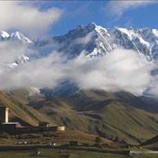
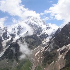
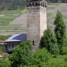
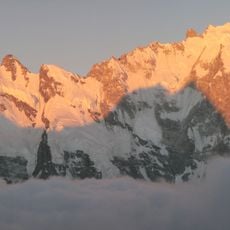
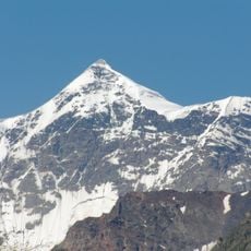
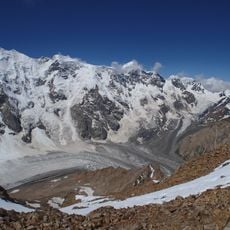
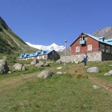
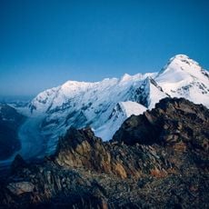
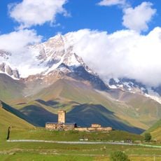
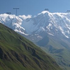
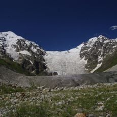
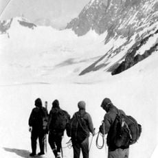
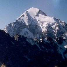
Shkhara Glacier, Caucasian glacier in Samegrelo-Zemo Svaneti, Georgia.
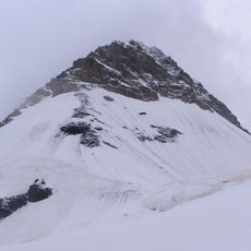
The Shkhara Glacier is a complex valley glacier on the southern slope of the Svaneti Caucasus, in the Enguri basin. Three icefalls feed it from the southern flanks of Shkhara, and three streams join at about 2,900 m; from there the tongue runs southwest and ends at 2,540 m. It is 5.19 km long and covers 3.55 km², with a heavily crevassed right side and a debris-covered middle.
The glacier's documented study rests on the work of Georgian glaciologist Levan Tielidze, whose 2014 book on Georgia's glaciers records its three icefalls, its three converging flows at 2,900 m, and a tongue ending at 2,540 m. Earlier, the Georgian Soviet Encyclopedia (vol. 11, 1987) listed its length at 5.19 km and area at 3.55 km².
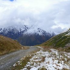
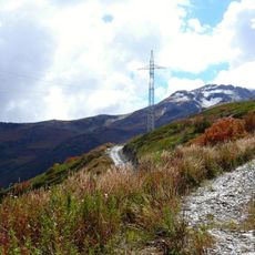
The glacier is reached by a path that starts at the village of Zhibiani, in the Enguri valley below Mount Shkhara. Its three ice streams meet at about 2,900 m and the tongue ends at 2,540 m, so herders and travellers crossing the Svaneti Caucasus read the ice and snow bridges of this terrain by season.
The glacier can be reached from Ushguli village between June and October, and local guides are available for the trek. Proper mountain experience and equipment are needed for the journey.
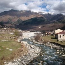
The glacier serves as the main source of the Enguri River, which flows through the Svaneti region and supplies water to communities downstream. This water connection makes it important for local populations.
The community of curious travelers
AroundUs brings together thousands of curated places, local tips, and hidden gems, enriched daily by 93,195 contributors worldwide.