
Uradinsky selsoviet, human settlement in Shamilsky District, Republic of Dagestan, Russia
Location: Shamilsky District
Capital city: Urada
GPS coordinates: 42.38554,46.56053
Latest update: April 13, 2025 21:14
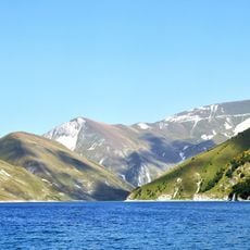
Kezenoyam
54.9 km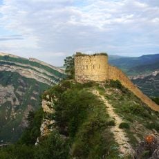
Gunib Fortress
32.4 km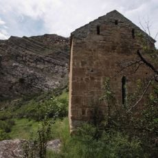
Datuna Church
10.7 km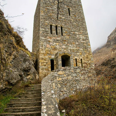
Gimry tower
47.8 km
Irganai Reservoir
40.1 km
Khunzakh Fortress
23.2 km
Mount Diklosmta
65.5 km
Кумухская джума-мечеть
51.7 km
Хой (башня)
53.9 km
Preobragenskaya Fortres
38.7 km
Didoetiya
55.2 km
Vodopad Chyrkhalyu
41.2 km
Gergebil Reservoir
38.3 km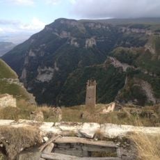
Харкаройская боевая башня
55.3 km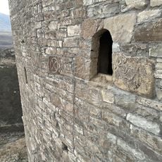
Makazhoy Historical and Architectural Complex
57 km
Canta-Aukh
60.7 km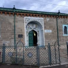
Джума-мечеть (Кумух)
51.7 km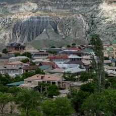
Мечеть (Салта)
41.9 km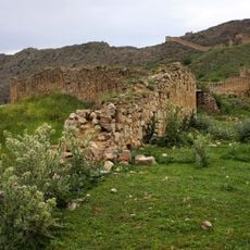
Крепостная стена (Гуниб)
32.5 km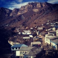
Селение Нижний Батлух (Нижний Батлух)
11.7 km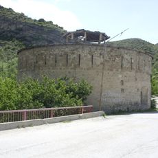
Башня юго-западная (Нижнее Инхело)
38.6 km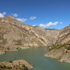
Водохранилище (Гуниб)
34.5 km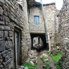
Селение Корода (архитектурный комплекс) (Корода)
24.8 km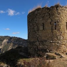
Оборонительная сторожевая башня (Гуниб)
32.5 km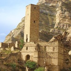
Верхняя боевая башня (Кахиб)
6.2 km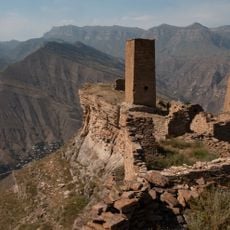
Три Гоорские башни (Гоор)
4.9 km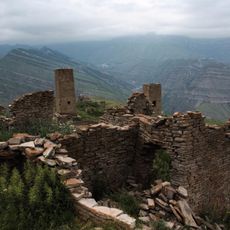
Селение «Гоор» (Гоор)
4.9 km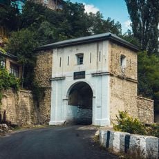
Нижние ворота крепости (Гуниб)
32.9 kmReviews
Visited this place? Tap the stars to rate it and share your experience / photos with the community! Try now! You can cancel it anytime.
Discover hidden gems everywhere you go!
From secret cafés to breathtaking viewpoints, skip the crowded tourist spots and find places that match your style. Our app makes it easy with voice search, smart filtering, route optimization, and insider tips from travelers worldwide. Download now for the complete mobile experience.

A unique approach to discovering new places❞
— Le Figaro
All the places worth exploring❞
— France Info
A tailor-made excursion in just a few clicks❞
— 20 Minutes