
Commune rurale de Ielanets, територіальна громада у Вознесенському районі Миколаївської області, Україна
Location: Voznesensk Raion
Inception: June 12, 2020
Capital city: Yelanets
Website: http://elanecka.gromada.org.ua/
Website: http://elanecka.gromada.org.ua
GPS coordinates: 47.67578,31.89905
Latest update: March 7, 2025 18:28
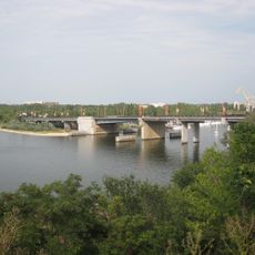
Inhul Bridge
77.8 km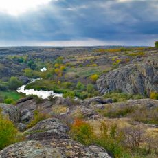
Aktove canyon
33.9 km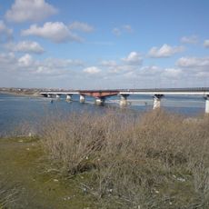
Varvarovskiy Bridge
77.1 km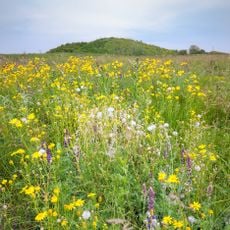
Yelanets steppe Nature Reserve
4.6 km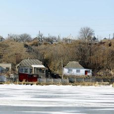
Matviyivka
73.1 km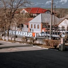
Oleksandrivka
47.3 km
Voskresenske
75.8 km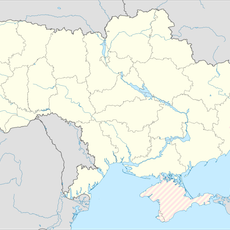
Olshanske
55.3 km
Kostiantynivka
59.6 km
Granite-steppe lands of Buh
65.9 km
Pelageevsky convent
34.6 km
Piskiy Bridge
59.1 km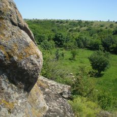
Monastyryshche
40.7 km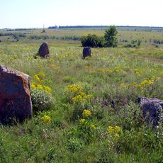
Boundary stones
64.8 km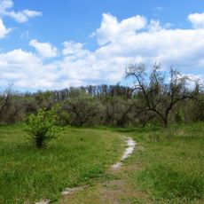
Park Peremogy
77.1 km
Pryingulsky Park
36.3 km
Kholodnyi Yar National Nature Park
56.7 km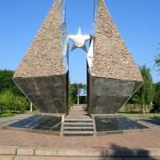
Monument to soldiers-internationalists, Mykolaiv
77.5 km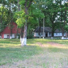
Khutir Nadia Park
72.3 km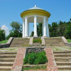
Altanka
44.3 km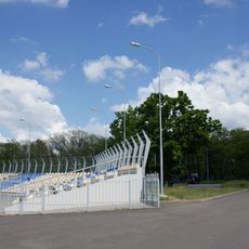
Park Peremohy Stadium
76.8 km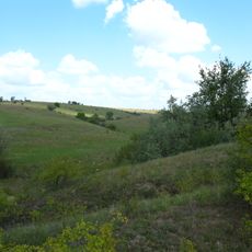
Mykhailivskyi Step
37.5 km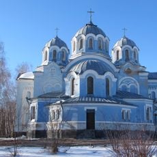
Church of the Ascension, Bobrynets
46.8 km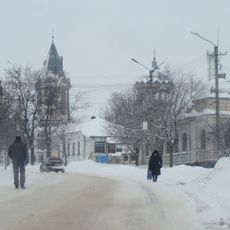
Saint Nicholas church, Bobrynets
46.5 km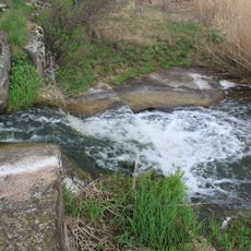
Shumok
43.6 km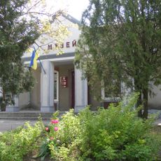
Bashtan Museum of Local History
51.1 km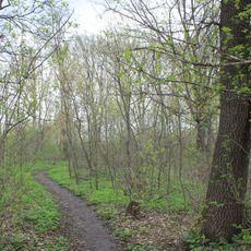
Chobitok
45.3 km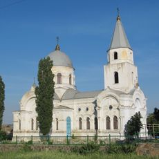
Петропавлівська церва
73.5 kmReviews
Visited this place? Tap the stars to rate it and share your experience / photos with the community! Try now! You can cancel it anytime.
Discover hidden gems everywhere you go!
From secret cafés to breathtaking viewpoints, skip the crowded tourist spots and find places that match your style. Our app makes it easy with voice search, smart filtering, route optimization, and insider tips from travelers worldwide. Download now for the complete mobile experience.

A unique approach to discovering new places❞
— Le Figaro
All the places worth exploring❞
— France Info
A tailor-made excursion in just a few clicks❞
— 20 Minutes