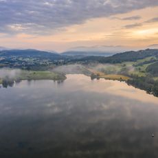
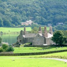
Grizedale Forest, Sculpture trail and commercial forest in Westmorland and Furness, England.
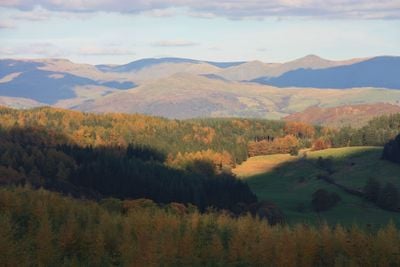
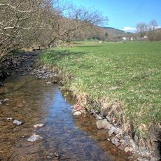
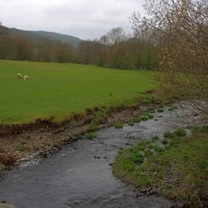
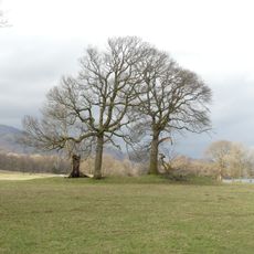
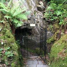
Grizedale Forest is a large commercial forest in Westmorland and Furness with extensive walking paths, cycling trails, and scattered artworks throughout. The landscape includes open meadows, dense woodland, and artist installations positioned at different locations.
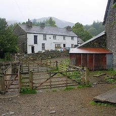
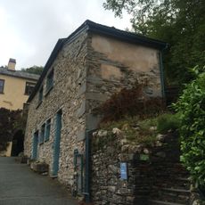
The estate was purchased by Forestry England in 1937, and Grizedale Hall on the grounds served as a prisoner of war camp during World War II. The transformation into the current forest and art destination happened gradually over the following decades.
The art collection here started in 1977 when local artists began placing works made from natural materials throughout the woodland. Walking these paths today, you encounter these sculptures as surprises that blend with the trees.
The forest is open from dawn to dusk daily, with a visitor center and parking available for guests. It is best to wear sturdy shoes and allow plenty of time to explore the various paths and artwork locations.
The forest operates on a harvest and replanting cycle where trees are cut at 45 to 70 years old and replaced with new seedlings. This rhythm shapes the forest's changing structure over longer periods.
Location: Satterthwaite
Location: Coniston
Operator: Forestry Commission
GPS coordinates: 54.34030,-3.02361
Latest update: December 10, 2025 15:56
Brantwood
2.7 km
Esthwaite Water
3.3 km
Beatrix Potter Gallery
4.2 km
Coniston Hall
3.7 km
St Michael and All Angels Church, Hawkshead
4.1 km
Carron Crag
1 km
Esthwaite Lodge
3 km
Lawson Park
2 km
Hawkshead Town Hall Town Hall Cottage
4.1 km
Dale Park Beck
2 km
Grizedale Beck
2 km
Church of St Andrew
4.6 km
All Saints Church
2 km
Monk Coniston
4.3 km
Anne Tyson's Cottage
4.2 km
Memorial cross to John Ruskin approximately 23 metres east of St Andrew's Church
4.6 km
Haws Bank Cottage and adjoining cottage
4.2 km
Lodge and former stable approximately 70 metres to south of Brantwood, Coniston
2.7 km
Monk Coniston
4.3 km
Privy approximately 13 metres to south of Coniston Hall, Coniston
3.7 km
Two bloomeries, 340m and 570m NNE of Hoathwaite Landing on Coniston Water
3.4 km
Former Solicitor's Office
4.2 km
Hawkshead War Memorial
4.1 km
Icehouse approximately 30 metres to north of Brantwood, Coniston
2.8 km
Boon Crag Farmhouse
4.5 km
Outbuilding approximately 30 metres to south of Brantwood, Coniston
2.7 km
Bowanstead
4.3 km
Atkinson Ground House
3.7 kmVisited this place? Tap the stars to rate it and share your experience / photos with the community! Try now! You can cancel it anytime.
Discover hidden gems everywhere you go!
From secret cafés to breathtaking viewpoints, skip the crowded tourist spots and find places that match your style. Our app makes it easy with voice search, smart filtering, route optimization, and insider tips from travelers worldwide. Download now for the complete mobile experience.
A unique approach to discovering new places❞
— Le Figaro
All the places worth exploring❞
— France Info
A tailor-made excursion in just a few clicks❞
— 20 Minutes