Castle Point, Administrative borough in Essex, England
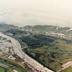
Castle Point is an administrative borough in Essex that stretches across the Thames Estuary, connecting several towns on the mainland with the island of Canvey Island. The area comprises distinct communities linked by waterways and transport connections.
The borough was formed in the 1970s through the merger of two separate urban districts, gaining official borough status decades later. This administrative change unified several neighboring communities under one governance structure.
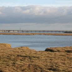
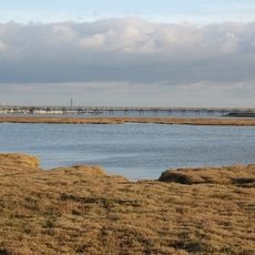
The area draws its character from its riverside and coastal location, where residents maintain strong connections to water and local communities. This maritime identity shapes how people experience and talk about their neighborhoods and surroundings.
The area benefits from direct road access to London and railway connections that run regularly throughout the day. Visitors can travel between different parts of the borough and the island using public transport links.
A large recreational facility on Canvey Island provides both indoor and outdoor sports amenities and serves as a popular gathering place for the community. The center reflects how sports and recreation shape local life on the island.
The community of curious travelers
AroundUs brings together thousands of curated places, local tips, and hidden gems, enriched daily by 60,000 contributors worldwide.