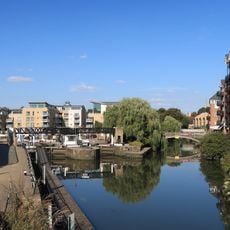
River Brent, River in Barnet and Ealing, England.
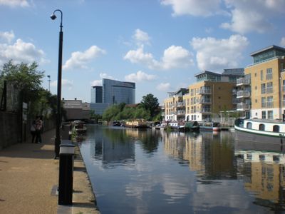
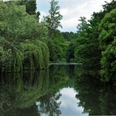
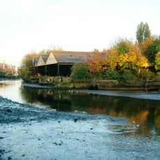
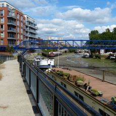
The River Brent is a waterway flowing through northwest London across four boroughs with natural banks and green spaces alongside its path. The river includes flood control features such as weirs that manage water levels throughout its course.
The river takes its name from Old English origins and first appears in written records from the early 700s linked to Breguntford, now called Brentford. This waterway has shaped settlement patterns and land use across the region for millennia.
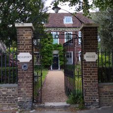
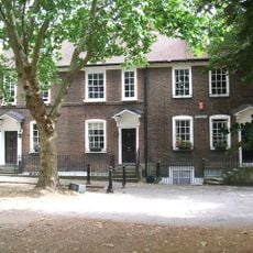
The waterway winds through neighborhoods where locals walk dogs along the towpaths and families stop at nearby parks to enjoy time outdoors. These green spaces form gathering places that connect different communities throughout the northwest region.
The waterway is best explored on foot or by bicycle along established towpaths that run alongside the banks on mostly flat ground. Most sections are readily accessible from public transport stops, especially in Brentford and surrounding neighborhoods.
The waterway was carved by ice sheets during the Anglian glacial period roughly 450,000 years ago, leaving the landscape features visible today. This ancient glacial history is written into the valley and surrounding terrain that travelers walk through.
The community of curious travelers
AroundUs brings together thousands of curated places, local tips, and hidden gems, enriched daily by 60,000 contributors worldwide.