
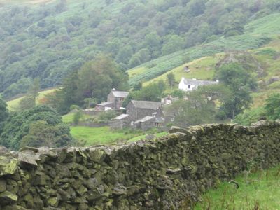
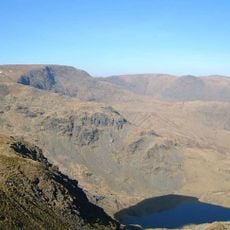
Kentmere, village and civil parish in Cumbria, UK
Location: Westmorland and Furness
GPS coordinates: 54.42900,-2.84000
Latest update: April 23, 2025 21:06
High Street
7.2 km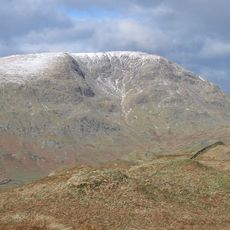
Red Screes
7.6 km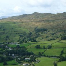
Wansfell
5.4 km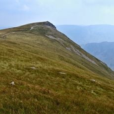
Kidsty Pike
8.6 km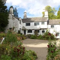
Townend
5.2 km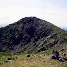
Ill Bell
4.2 km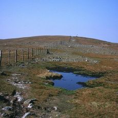
Harter Fell
5.3 km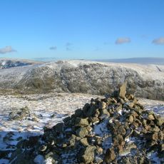
Stony Cove Pike
7.4 km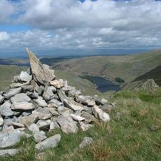
Mardale Ill Bell
6.1 km
Thornthwaite Crag
6.5 km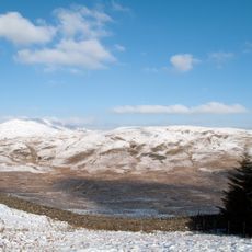
Sallows
1.9 km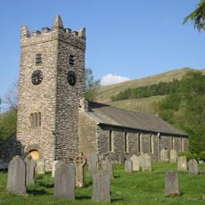
Jesus Church
4.5 km
Yoke
3.2 km
Grey Crag
5.2 km
Kentmere Pike
3.9 km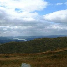
Sour Howes
3 km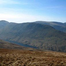
Gray Crag
8.2 km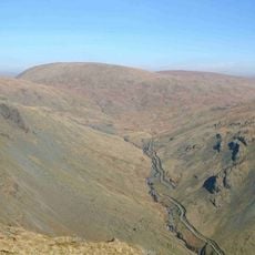
Branstree
6.3 km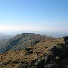
Shipman Knotts
2.7 km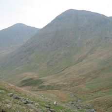
Froswick
4.9 km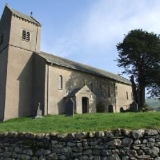
Church of St Cuthbert
59 m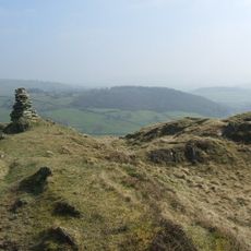
Hugill Fell
4.6 km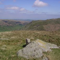
Howes
7.6 km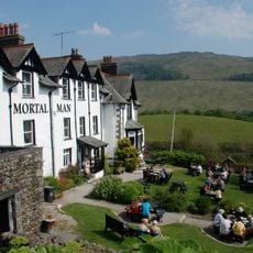
Mortal Man Inn
4.5 km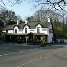
Queens Head Inn
4.2 km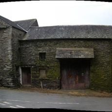
Barn At Town End
5.2 km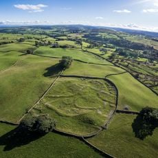
Romano-British settlement, 450m east of High Borrans
3.6 km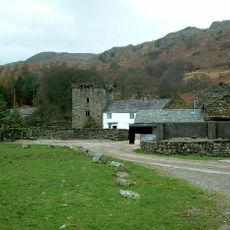
Kentmere Hall And Attached Barn
534 mVisited this place? Tap the stars to rate it and share your experience / photos with the community! Try now! You can cancel it anytime.
Discover hidden gems everywhere you go!
From secret cafés to breathtaking viewpoints, skip the crowded tourist spots and find places that match your style. Our app makes it easy with voice search, smart filtering, route optimization, and insider tips from travelers worldwide. Download now for the complete mobile experience.

A unique approach to discovering new places❞
— Le Figaro
All the places worth exploring❞
— France Info
A tailor-made excursion in just a few clicks❞
— 20 Minutes