North Circular Road, Orbital road in North London, United Kingdom
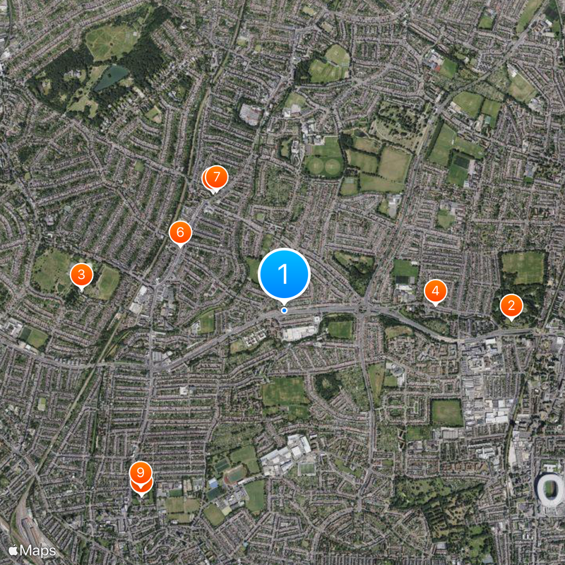
The North Circular Road is a ring route that crosses eight London boroughs through the northern parts of the city. It links residential areas, shopping centers, and railway stations while serving as a main traffic corridor for commuters and delivery services.
Construction began after World War I as a job creation project and finished around 1930. The road was built to connect industrial communities around London and help with urban development.
The road connects different neighborhoods and shapes their identities by linking local centers together. Residents know it as a landmark for finding their way and living between communities across north London.
The road is well-developed and crossed by several public transport lines, making it easy to change between different services. Drivers should expect heavy congestion during peak hours, particularly at junctions in densely populated areas.
One section of the road, Hanger Lane, is among the busiest traffic junctions in London's network. This area has been rebuilt multiple times to cope with increasing traffic demands.
Location: London Borough of Barnet
Location: London Borough of Barking and Dagenham
Location: London Borough of Brent
Location: London Borough of Ealing
Location: London Borough of Enfield
Location: London Borough of Hounslow
Location: London Borough of Redbridge
Location: London Borough of Waltham Forest
Inception: 1930
GPS coordinates: 51.61610,-0.09520
Latest update: December 6, 2025 21:31
Pymmes Park
1.7 km
Broomfield House
1.5 km
Millfield Theatre
1.1 km
Intimate Theatre
1 km
The Fox, Palmers Green
919 m
Saint Monica's Church, Palmers Green
1 km
George Meehan House
1.8 km
Woodside Park
1.7 km
Millfield House
1.1 km
Pymmes House
1.8 km
St John the Evangelist, Palmers Green
1.1 km
New Testament Church of God Cathedral of Praise
1.5 km
Cullands Grove
1.9 km
Truro House
960 m
Palmers Green United Reformed Church
1.3 km
Winchmore Hill Police Station
1.6 km
Post Office Sorting Office
1.9 km
National Westminster Bank
905 m
Church of St Aldhelm
1 km
Former Garden Walls In Pymme's Park
1.7 km
Holy Trinity
1.6 km
Entrance Lodge To Millfield House
977 m
Palmers Green War Memorial
1 km
Broomfield Park Garden of Remembrance
1.5 km
The Mushroom House
1.7 km
Winchmore Hill Library
1.4 km
East Wall Of Broomfield Park Including Attached Garden House And Stable Block
1.5 km
Wall Running West From Just West Of Entrance Lodge To Millfield House
907 mVisited this place? Tap the stars to rate it and share your experience / photos with the community! Try now! You can cancel it anytime.
Discover hidden gems everywhere you go!
From secret cafés to breathtaking viewpoints, skip the crowded tourist spots and find places that match your style. Our app makes it easy with voice search, smart filtering, route optimization, and insider tips from travelers worldwide. Download now for the complete mobile experience.
A unique approach to discovering new places❞
— Le Figaro
All the places worth exploring❞
— France Info
A tailor-made excursion in just a few clicks❞
— 20 Minutes