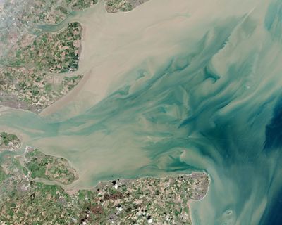
Thames Estuary, Tidal estuary between Kent and Essex, England.
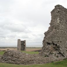
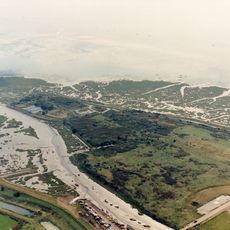
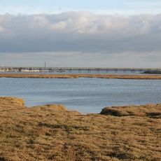
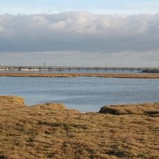
The Thames Estuary is a tidal estuary in southeastern England where the Thames river meets the North Sea and forms wide mudflats. The shorelines run flat with long stretches of reeds, salt marshes and open water that reveal broad mudbanks at low tide.
The estuary was equipped with lightvessels and beacons starting in the 18th century to secure navigation through the shallow waters. The expansion of aids to navigation continued through the 19th century and accompanied the growing importance of London as a port city.
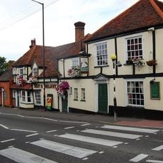
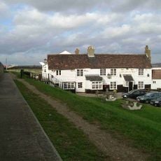
The name comes from the Thames river as it opens into the open sea and forms a wide landscape of mudflats and salt marshes. Boats still travel through the channels while harbors and small settlements along the shores shape life by the water.
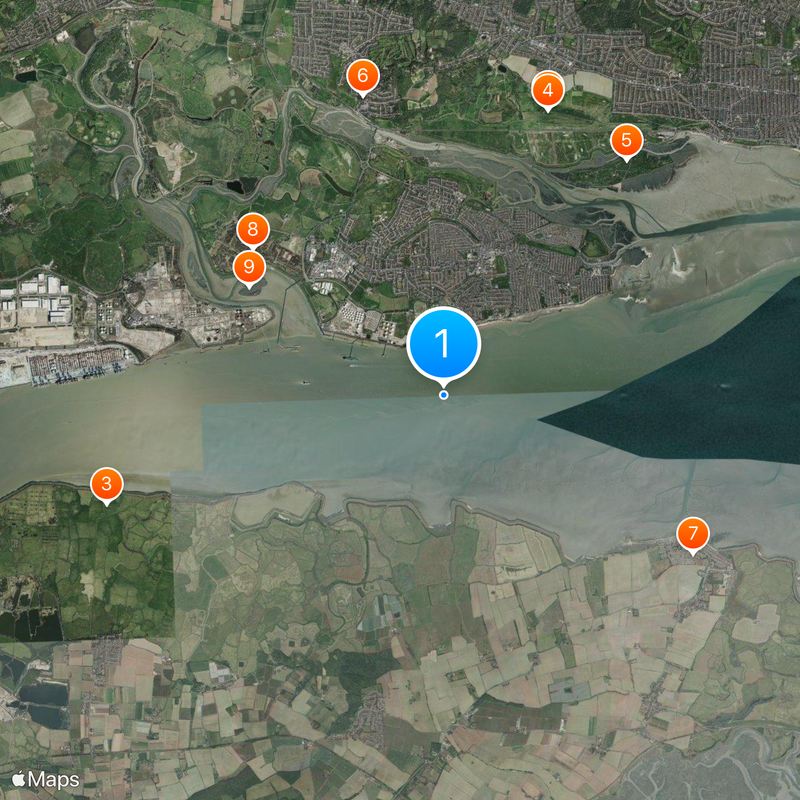
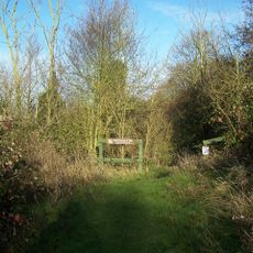
The stations along the line from London Fenchurch to Shoeburyness offer several entry points to the waterside paths. The trails cross open ground that provides little shelter in strong wind and rain, so checking the weather forecast is worth it.
In the outer part of the estuary the rotors of a large offshore wind farm turn and generate electricity for hundreds of thousands of homes. The installation is visible from the shore as a distant row of white towers that move slowly against the horizon.
The community of curious travelers
AroundUs brings together thousands of curated places, local tips, and hidden gems, enriched daily by 60,000 contributors worldwide.