
Nether Denton, village and civil parish in Cumbria, England
Location: Carlisle
Website: http://netherdenton.com
GPS coordinates: 54.96110,-2.62110
Latest update: March 11, 2025 14:10
Borders of the Roman Empire
3.7 km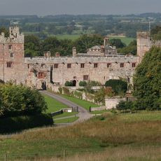
Naworth Castle
4.4 km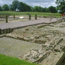
Banna
3.4 km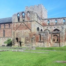
Lanercost Priory
4.8 km
Hadrian's Wall
3.4 km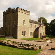
Birdoswald
3.4 km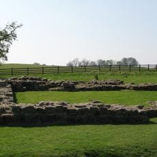
Milecastle 49
3.7 km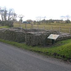
Leahill Turret
2.8 km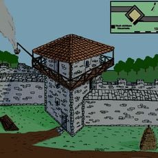
Pike Hill Signal Tower
3.1 km
Milecastle 52
3 km
Milecastle 50
2.9 km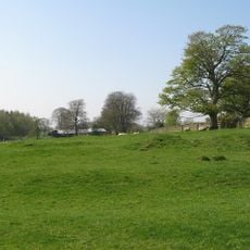
Milecastle 51
2.6 km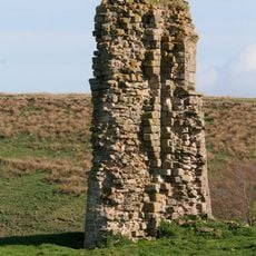
Triermain Castle
3.8 km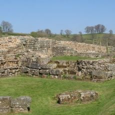
Willowford Bridge
3.8 km
Church of St Thomas a Becket
4.7 km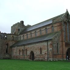
St Mary Magdalene
4.8 km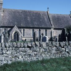
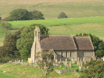
Church of St Cuthbert
1.7 km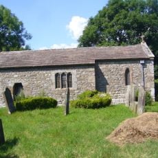
St Cuthbert's church, Upper Denton
2.7 km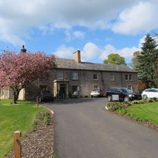
Farlam Hall
4.5 km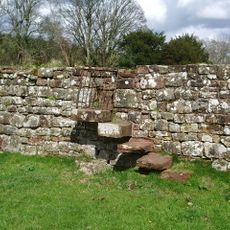
Walls to the North of Lanercost Priory
4.8 km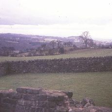
Hadrian's Wall and vallum between the field boundary west of Coombe Crag and Banks Green Cottage and the road to Lanercost at Banks in wall miles 51 and 52
2.9 km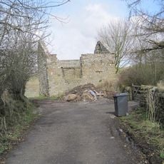
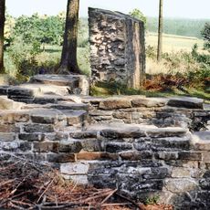
Bastle at Upper Denton
2.7 km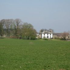
Northrigghill
3.6 km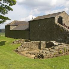
Farmbuildings Situated 30 Metres North North West Of Birdoswald Farmhouse Or Tenement
3.4 km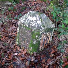
Milestone At Ngr Ny 56690 61990
3.8 km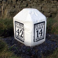
Milestone East Of Low Row At Ngr Ny 59580 63080
747 m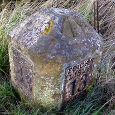
Milestone At Ngr Ny58130 62460
2.3 km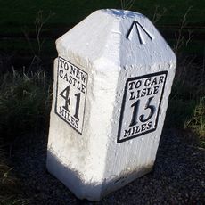
Milestone West Of At Temon Bridge At Ngr Ny 6080 63660
916 mVisited this place? Tap the stars to rate it and share your experience / photos with the community! Try now! You can cancel it anytime.
Discover hidden gems everywhere you go!
From secret cafés to breathtaking viewpoints, skip the crowded tourist spots and find places that match your style. Our app makes it easy with voice search, smart filtering, route optimization, and insider tips from travelers worldwide. Download now for the complete mobile experience.

A unique approach to discovering new places❞
— Le Figaro
All the places worth exploring❞
— France Info
A tailor-made excursion in just a few clicks❞
— 20 Minutes