Enable Location

We need your location to show you interesting places around you

Discover nearby places

Find interesting locations and hidden gems around you

Precise directions

Get accurate directions and distances to places

Your location is never shared with other users. It's only used when you tap the location button.

Drum

Log in to your account

Start exploring — it's free

Trusted by 63,533 travelers worldwide

Continue with Google
Continue with Apple
or

We will send you a code to connect

By continuing, you accept our Terms and Conditions and our Privacy Policy

Check your inbox

We've sent a pincode in your inbox. Please enter the code below.

Drum
Discussion Reviews 1 Photos
1.8k Popularity

Drum, Mountain summit in Conwy County Borough, Wales.

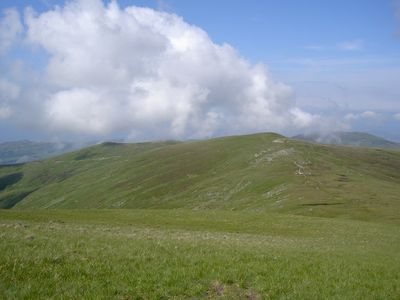
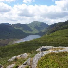
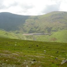
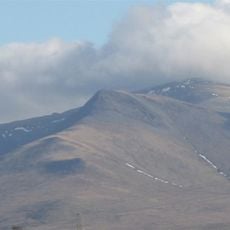
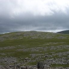
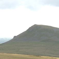
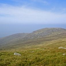
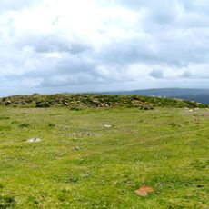
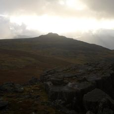
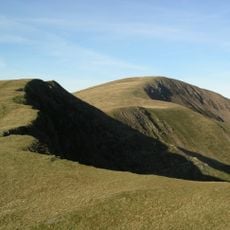
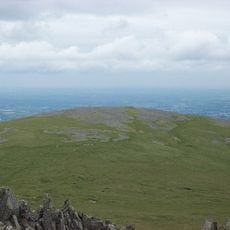
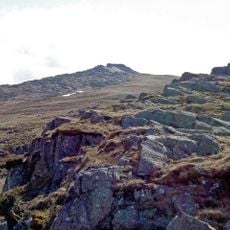
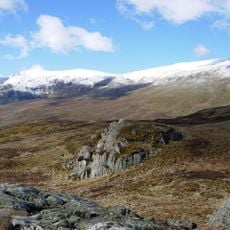
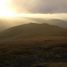
Drum is a mountain summit in the Carneddau range of northern Wales, rising to 770 meters with grassy slopes covering its lower sections. A distinctive cairn marks the peak and is visible from several walking routes in the area.

The mountain served as a testing ground in 1956 for Blue Joker, an experimental airborne radar system developed for military purposes. This use demonstrates the site's strategic importance during the Cold War era.

The Welsh name 'Y Drum' describes a ridge formation, reflecting how locals perceive the mountain's shape in the landscape. This naming tradition is still used by people in nearby communities when discussing the Carneddau hills.

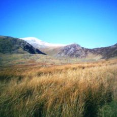
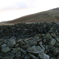
Visitors can reach the summit via several marked trails starting from the village of Rowen in the surrounding area. The path is best walked during dry weather, as the grassy slopes become slippery after rain.

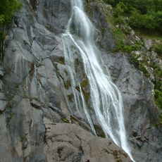
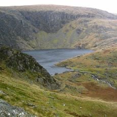
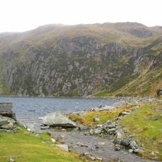
Water flowing from the eastern section of the mountain channels through the Afon Tafolog stream, which eventually joins the larger River Conwy. Following this watercourse reveals how the peak functions as a water source for the surrounding landscape.

The community of curious travelers

AroundUs brings together thousands of curated places, local tips, and hidden gems, enriched daily by 60,000 contributors worldwide.

Start exploring
Elevation above the sea
770 m
GPS coordinates
53.20680,-3.93595
Latest update
December 14, 2025 12:24
Reviews
Share your experience

No review yet

Discussions
Start a discussion...

No discussion yet

« Drum - Mountain summit in Conwy County Borough, Wales » is provided by Around Us (aroundus.com). Images and texts are derived from Wikimedia project under a Creative Commons license. You are allowed to copy, distribute, and modify copies of this page, under the conditions set by the license, as long as this note is clearly visible.

Discover hidden gems everywhere you go!

From secret cafés to breathtaking viewpoints, skip the crowded tourist spots and find places that match your style. Our app makes it easy with voice search, smart filtering, route optimization, and insider tips from travelers worldwide. Download now for the complete mobile experience.

Around Us App Screenshot

A unique approach to discovering new places

Le Figaro

All the places worth exploring

France Info

A tailor-made excursion in just a few clicks

20 Minutes

Around Us
Travel Guide & Maps
Download

Send to your phone

QR Code
1

Open the camera app on your mobile.

2

Point at the QR code with your camera. A notification will appear.

3

Tap the notification to open the link.