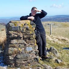
Craig Eigiau, Mountain summit in Conwy County Borough, Wales
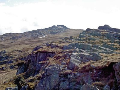
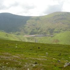
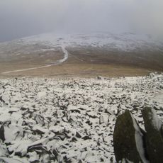
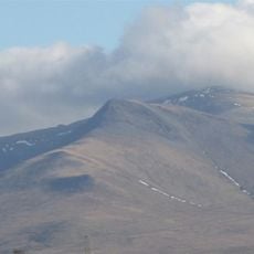
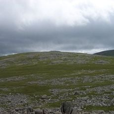
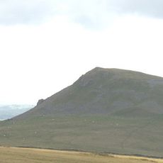
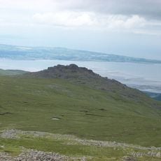
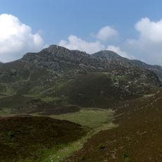
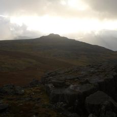
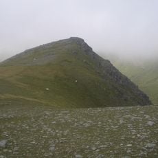
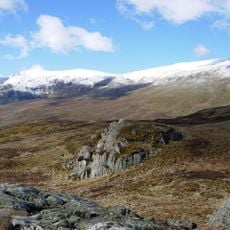
Craig Eigiau is a mountain summit in Conwy County Borough that rises to 735 meters, featuring a broad ridge running eastward from Foel Grach. This ridge extends toward a large peat plateau called Gledrfordd, creating a varied terrain with distinct geological features.
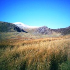
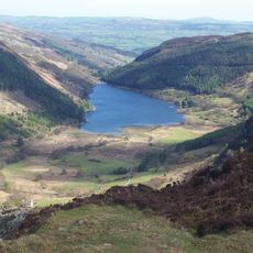
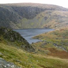
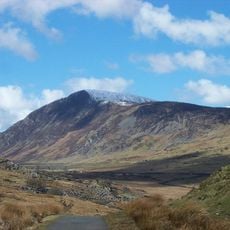
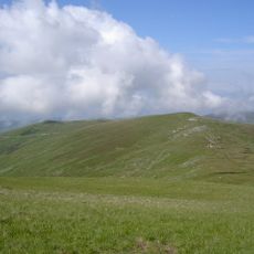
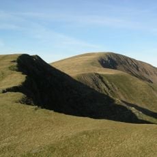
Craig Eigiau forms part of the ancient Carneddau range, which has contained prehistoric archaeological sites and played a role in Welsh history for many centuries. This mountain chain has been a defining feature of the landscape since prehistoric times and continues to mark the geography of the region.
The name Craig Eigiau comes from Welsh, where Craig means rock or crag, reflecting how the local language shapes geographical features across the mountains. This naming tradition connects the landscape to Welsh identity and remains evident in how locals and visitors alike refer to the peaks.
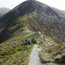
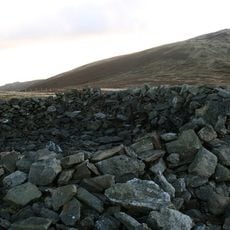
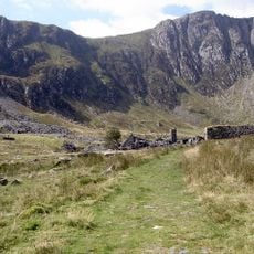
Visitors can navigate using OS Landranger Map 115, with multiple walking routes available from different starting points in the area. Proper gear and weather preparation are important since conditions on the ridge can change quickly throughout the day.
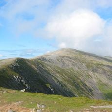
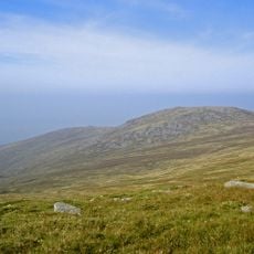
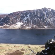
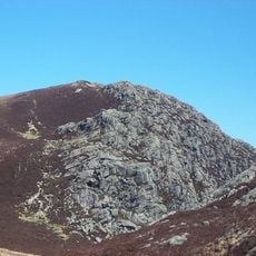
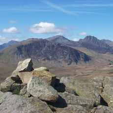
The summit features a distinctive sloping rock slab that provides clear views toward neighboring peaks Garnedd Uchaf and Pen yr Helgi Du. This natural formation creates a natural vantage point for observing the surrounding mountain landscape.
The community of curious travelers
AroundUs brings together thousands of curated places, local tips, and hidden gems, enriched daily by 60,000 contributors worldwide.