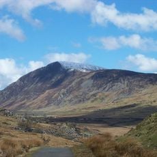
Foel Grach, Mountain summit in Snowdonia National Park, Wales
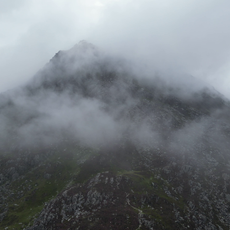
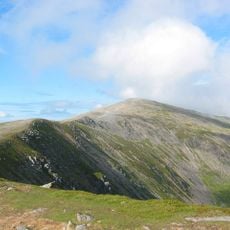
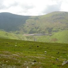
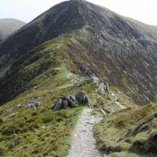
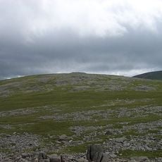
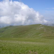
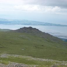
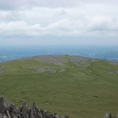
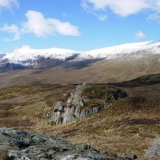
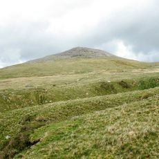
Foel Grach is a mountain summit in the Carneddau range within Snowdonia and reaches 975 meters in elevation. The peak features a broad, flat plateau at its top, making it the eighth-highest summit in Wales.
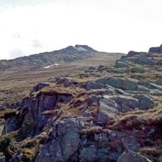
The peak serves as a type locality for the Foel Grach Basalt Formation and documents major geological processes that shaped the Welsh mountains. Its rock formations reveal volcanic activity spanning millions of years.
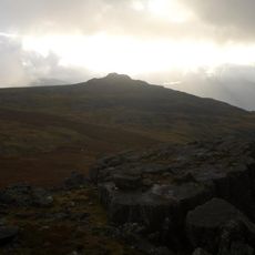
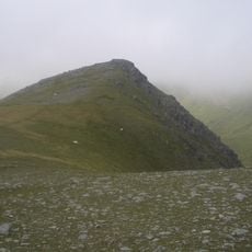
The name Foel Grach comes from Welsh and means 'bare hill', reflecting how the region's mountains were traditionally named after their most striking features. This naming connects the landscape directly to its sparse, windswept character.
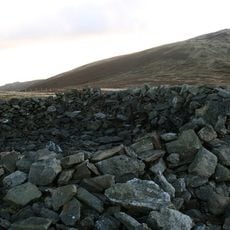
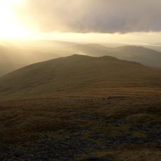
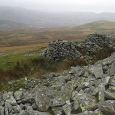
The ascent is possible throughout the year, but conditions vary significantly between seasons. An emergency refuge structure located below the summit provides shelter if the weather turns severe.
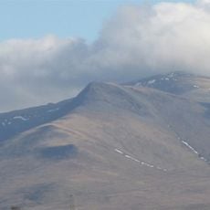
The broad summit accumulates more snow in winter than neighboring peaks, creating distinctive conditions across the range. These deeper snow deposits persist longer than on nearby peaks, noticeably altering the summit's appearance.
The community of curious travelers
AroundUs brings together thousands of curated places, local tips, and hidden gems, enriched daily by 60,000 contributors worldwide.