Enable Location

We need your location to show you interesting places around you

Discover nearby places

Find interesting locations and hidden gems around you

Precise directions

Get accurate directions and distances to places

Your location is never shared with other users. It's only used when you tap the location button.

Bera Mawr

Log in to your account

Start exploring — it's free

Trusted by 62,849 travelers worldwide

Continue with Google
Continue with Apple
or

We will send you a code to connect

By continuing, you accept our Terms and Conditions and our Privacy Policy

Check your inbox

We've sent a pincode in your inbox. Please enter the code below.

Bera Mawr

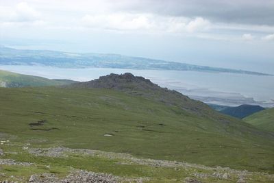
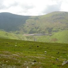
Bera Mawr, Mountain summit in Carneddau range, Gwynedd, United Kingdom.

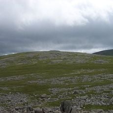
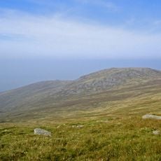
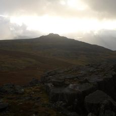
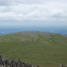
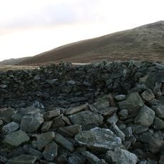
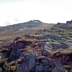
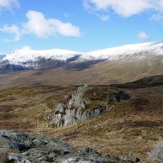
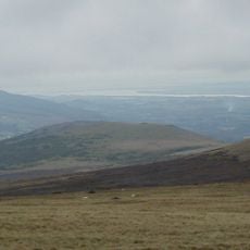
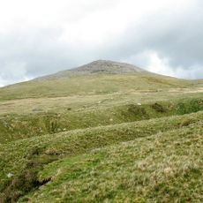
Bera Mawr is a summit in the Carneddau range reaching about 794 meters, marked by a distinctive rocky outcrop at its top. From this vantage point, views extend across the northern mountains of the range.

The slopes below this peak became the site where Prince Dafydd ap Gruffudd was captured in June 1283, an event that ended independent Welsh rule. This moment proved decisive in the region's transformation under English control.

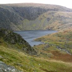
Nearby peaks carry the names of Welsh medieval leaders, and these names reflect how this region was shaped by the struggles of local rulers. The surrounding mountains serve as reminders of the people who once held power in this landscape.

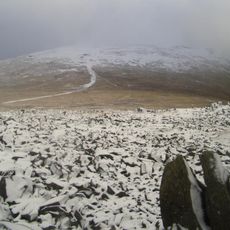
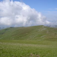
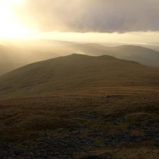
Several hiking paths reach the summit from nearby towns like Aber and Bethesda, though hikers should carry proper gear and watch weather conditions carefully. The climb demands physical effort and good planning, especially when weather turns rough.

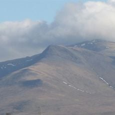
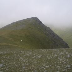
This peak forms part of the Berau formation alongside a neighboring summit called Bera Bach, with both displaying distinctive rock patterns typical of the western Carneddau. The pair of mountains creates an interesting geological landmark in the range.

The community of curious travelers

AroundUs brings together thousands of curated places, local tips, and hidden gems, enriched daily by 60,000 contributors worldwide.

Start exploring
Location
Elevation above the sea
794 m
GPS coordinates
53.19494,-3.98509
Latest update
December 14, 2025 14:21
« Bera Mawr - Mountain summit in Carneddau range, Gwynedd, United Kingdom » is provided by Around Us (aroundus.com). Images and texts are derived from Wikimedia project under a Creative Commons license. You are allowed to copy, distribute, and modify copies of this page, under the conditions set by the license, as long as this note is clearly visible.

Discover hidden gems everywhere you go!

From secret cafés to breathtaking viewpoints, skip the crowded tourist spots and find places that match your style. Our app makes it easy with voice search, smart filtering, route optimization, and insider tips from travelers worldwide. Download now for the complete mobile experience.

Around Us App Screenshot

A unique approach to discovering new places

Le Figaro

All the places worth exploring

France Info

A tailor-made excursion in just a few clicks

20 Minutes

Around Us
Travel Guide & Maps
Download

Send to your phone

QR Code
1

Open the camera app on your mobile.

2

Point at the QR code with your camera. A notification will appear.

3

Tap the notification to open the link.