
Red House Roman camp, archaeological site in Newbrough, Northumberland, England, UK
Location: Newbrough
Part of: borders of the Roman Empire, Hadrian's Wall
GPS coordinates: 55.00360,-2.19120
Latest update: April 7, 2025 11:34
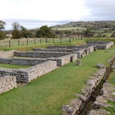
Chesters Roman Fort
4.2 km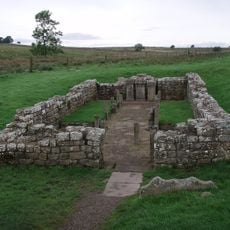
Carrawburgh
4.1 km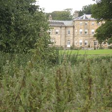
Chesters
4 km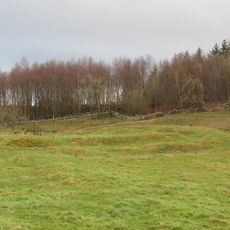
Milecastle 29
3.6 km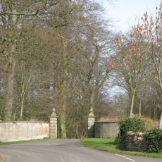
Walwick Grange
3.3 km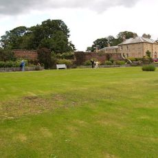
Newbrough Hall
673 m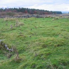
Milecastle 30
3.9 km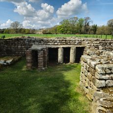
Chesters Roman Fort
4.1 km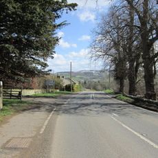
Milecastle 28
3.7 km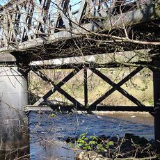
Warden Railway Bridge
3.8 km
Milecastle 31
4.2 km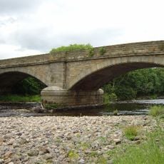
Warden Bridge
3.6 km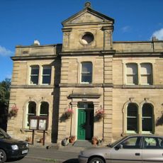
Town Hall
517 m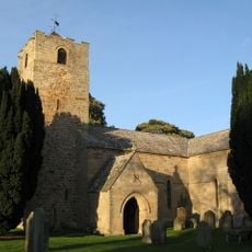
Church of St Michael
3.7 km
Church of St George
4.1 km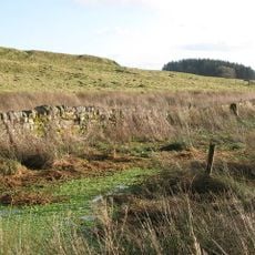
Coventina's Well
4.1 km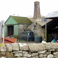
Thornton Tower
797 m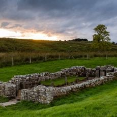
Carrawburgh Roman fort and Hadrian's Wall and vallum
4 km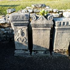
Brocolitia Mithraic temple
3.9 km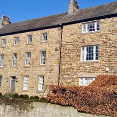
Little Walwick
3.8 km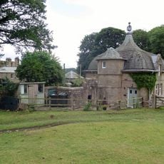
Power House To North East Of Newbrough Hall
727 m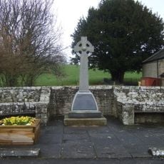
Newbrough War Memorial
522 m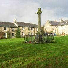
Wall War Memorial
4 km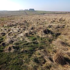
Brocolitia Roman fort
4 km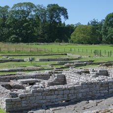
The Roman fort, vicus, bridge abutments and associated remains of Hadrian's Wall at Chesters in wall mile 27
3.9 km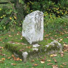
Medieval wayside cross, 780m SSE of Walwick Grange
3.2 km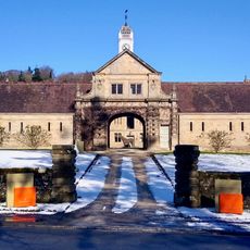
Stable Block 200 Metres North Of Chesters
4.1 km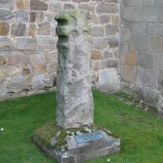
Cross In Churchyard About 3 Metres South Of Tower Of Church Of St Michael
3.7 kmReviews
Visited this place? Tap the stars to rate it and share your experience / photos with the community! Try now! You can cancel it anytime.
Discover hidden gems everywhere you go!
From secret cafés to breathtaking viewpoints, skip the crowded tourist spots and find places that match your style. Our app makes it easy with voice search, smart filtering, route optimization, and insider tips from travelers worldwide. Download now for the complete mobile experience.

A unique approach to discovering new places❞
— Le Figaro
All the places worth exploring❞
— France Info
A tailor-made excursion in just a few clicks❞
— 20 Minutes