
Church of St George, church building in Newcastle upon Tyne, Tyne and Wear, UK
Location: Newcastle upon Tyne
GPS coordinates: 54.97403,-1.70566
Latest update: April 12, 2025 22:23
The Mitre
2.2 km
Scotswood Bridge
1.3 km
Scotswood Railway Bridge
1 km
Axwell House
2.4 km
Blaydon Bridge
664 m
Milecastle 7
2 km
Newburn Bridge
2.6 km
Milecastle 9
2.1 km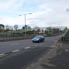
Milecastle 8
1.4 km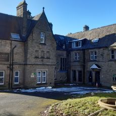
Royal Victoria School For The Blind
2.3 km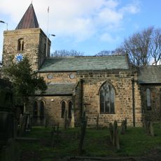
Church of St Michael and All Angels
2.4 km
Church of Holy Saviour, Lemington
121 m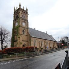
Church of St Cuthbert
1.2 km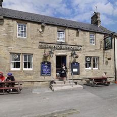
The Boathouse Public House
2.6 km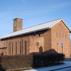
Holy Cross Church, Fenham
2.6 km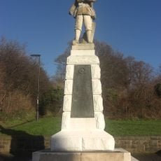
Newburn War Memorial
2.6 km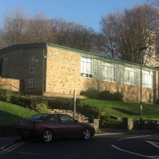
Newburn Library
2.5 km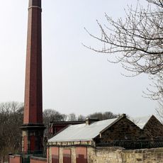
Benwell Waterworks Chimney
1.8 km
Outer West Library
2.2 km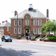
Housing Department Area Offices
2.7 km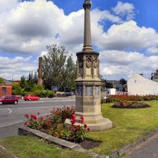
War Memorial
2.6 km
Vallum crossing at Benwell Fort
2.6 km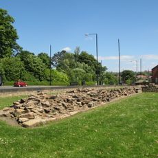
Roman Turret Opposite Number 800, Bishops House (denton Hall) With Section Of Hadrian's Wall
1.5 km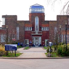
Former Whickham View Schools
1.2 km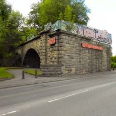
'Derwent Walk Express' and supporting bridge abutment and approach spans
2.5 km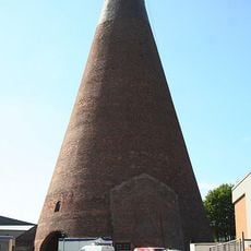
Lemington Cone
596 m
Summerhouse
1.5 km
Number 4 And Wall Adjoining To North
1.3 kmReviews
Visited this place? Tap the stars to rate it and share your experience / photos with the community! Try now! You can cancel it anytime.
Discover hidden gems everywhere you go!
From secret cafés to breathtaking viewpoints, skip the crowded tourist spots and find places that match your style. Our app makes it easy with voice search, smart filtering, route optimization, and insider tips from travelers worldwide. Download now for the complete mobile experience.

A unique approach to discovering new places❞
— Le Figaro
All the places worth exploring❞
— France Info
A tailor-made excursion in just a few clicks❞
— 20 Minutes