Lower Peninsula of Michigan, Peninsula and geographic region in Michigan, US.
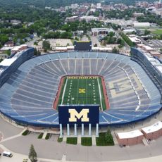
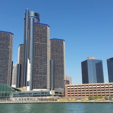
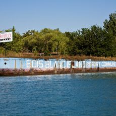
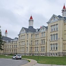
The Lower Peninsula extends northward from Indiana and Ohio in a distinctive mitten shape. This region contains multiple cities, forests, and waterfront areas along two Great Lakes that define its boundaries.
The region gained its current borders through the Toledo War settlement of 1836, which established the boundary between Michigan and Ohio. This agreement marked a turning point in the state's development and shaped its final borders.
Residents use their hands as reference maps, pointing to locations within the peninsula by indicating spots on their palms and fingers.
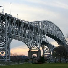
The peninsula is crossed by several major highways, including Interstate 75, which connects important cities and neighboring states. Visitors should expect conditions to vary by season, particularly during warmer and colder months.
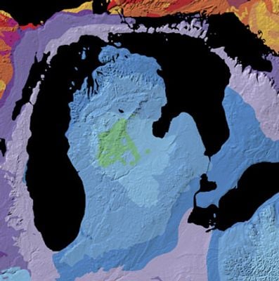
The terrain is shaped by numerous glacial moraines that formed during the Ice Age and continue to define the landscape today. These geological features are visible throughout and create the varied elevations that characterize the region.
The community of curious travelers
AroundUs brings together thousands of curated places, local tips, and hidden gems, enriched daily by 60,000 contributors worldwide.