
Goshen, town in Massachusetts, United States
Location: Hampshire County
Elevation above the sea: 442 m
Website: http://egoshen.net
GPS coordinates: 42.44028,-72.80000
Latest update: March 8, 2025 07:01
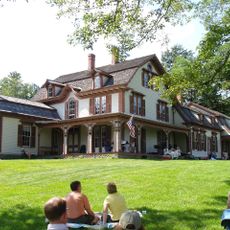
William Cullen Bryant Homestead
12 km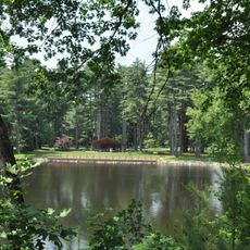
Look Park
14 km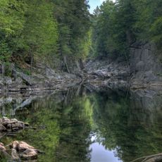
Chesterfield Gorge
8.4 km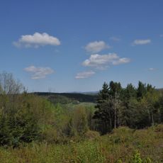
Bear Swamp
12.2 km
D.A.R. State Forest
1.9 km
Petticoat Hill
8 km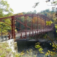
Bardwell's Ferry Bridge
16.3 km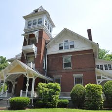
Grove Hill Mansion
12.8 km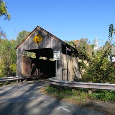
Burkeville Covered Bridge
10.5 km
West Hatfield Historic District
15.4 km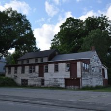
Bisbee Mill
7.3 km
Ross Farm
15.4 km
Mountain Rest
3.9 km
Williamsburg Center Historic District
7.8 km
South Worthington Historic District
13 km
Robert Strong Woodward House and Studio
16.6 km
West Chesterfield Historic District
7.5 km
East Hawley Center Historic District
15.1 km
Ashfield Plain Historic District
9.7 km
Dorsey-Jones House
16.1 km
Plainfield Center Historic District
12.6 km
Conway Center Historic District
11.4 km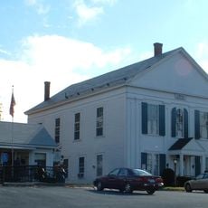
Whately Center Historic District
13.5 km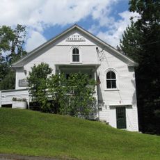
Chesterfield Center Historic District
6.4 km
West Whately Historic District
9.7 km
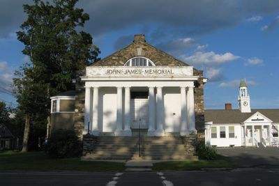
Goshen Town Hall
124 m
North Hatfield Historic District
14.9 km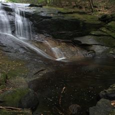
Chapel Brook Falls
5.7 kmVisited this place? Tap the stars to rate it and share your experience / photos with the community! Try now! You can cancel it anytime.
Discover hidden gems everywhere you go!
From secret cafés to breathtaking viewpoints, skip the crowded tourist spots and find places that match your style. Our app makes it easy with voice search, smart filtering, route optimization, and insider tips from travelers worldwide. Download now for the complete mobile experience.

A unique approach to discovering new places❞
— Le Figaro
All the places worth exploring❞
— France Info
A tailor-made excursion in just a few clicks❞
— 20 Minutes