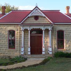
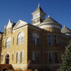
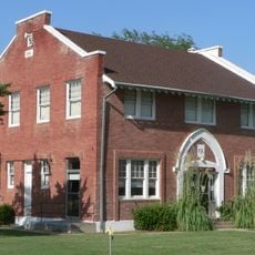
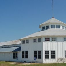
Osborne County, County in central Kansas, United States.
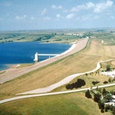
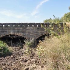
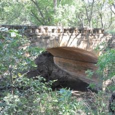
Osborne County is an administrative division in central Kansas, made up of open grassland and prairie rolling across the terrain. The South Fork of the Solomon River runs through it, shaping the landscape along with several smaller waterways.
The county was established in 1867 and named after Civil War Captain Vincent Osborne, who never actually visited the territory. Naming new counties after military figures from the eastern states was a common practice at the time.
The Kansas Storytelling Festival in Downs brings people together to share stories and local traditions passed down through generations. The small towns scattered across the county still hold regular community gatherings that reflect everyday rural life in this part of Kansas.
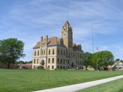
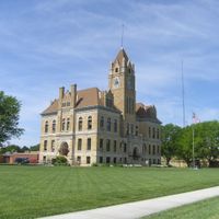
The county seat is Osborne, where the main administrative offices are located and where most services can be found. The towns across the county are spread far apart, so having your own vehicle is the most practical way to get around.
George Wolberd filed the first homestead claim in the area on January 14, 1870, choosing to settle in the northeast corner of what would become the county. His claim stands as one of the earliest formal records of permanent settlement in this territory.
The community of curious travelers
AroundUs brings together thousands of curated places, local tips, and hidden gems, enriched daily by 60,000 contributors worldwide.