Baltimore County

Log in to your account

AroundUs is a community-driven map of interesting places, built by curious explorers like you. It grows with every review, story, and photo you share.
Connect to save your favorite spots, contribute locations, and create personalized routes.
Continue with Google
Continue with Apple
Continue with X
Continue with Facebook
Continue with email
By continuing, you accept our Terms and Conditions and our Privacy Policy
Create an account
Add to collection
Map
Suggest a change
Share

Baltimore County, Administrative county in Maryland, US

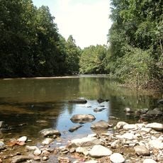
Baltimore County is an administrative unit in the state of Maryland that wraps around the city of Baltimore on three sides while functioning as a separate governmental entity. The county runs from the Patapsco River in the south to the Pennsylvania border in the north, taking in both densely populated suburbs and rural areas with forests and farmland.

The county was established in 1659 and became one of the first six administrative divisions of the Maryland colony. In 1851, the city of Baltimore separated and became an independent jurisdiction outside the county.

The county government actively supports community engagement through boards and commissions, enabling residents to participate in local decision-making processes and policy development.

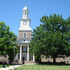
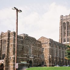
Towson serves as the administrative center and houses the main government offices for residents who need to apply for documents or resolve administrative matters. The county is divided into 7 council districts, each representing different communities.

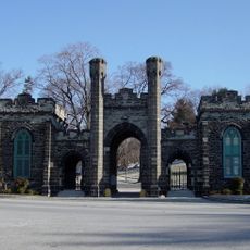
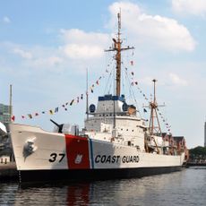
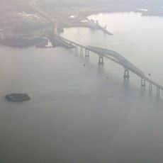
The county contains several unincorporated communities like Dundalk and Pikesville that lack their own city governments but maintain their own post offices and identities. Water covers roughly one eighth of the total area, including portions of the Chesapeake Bay and several rivers.

Location: Maryland

Inception: 1659

Capital city: Towson

Part of: Baltimore metropolitan area

Shares border with: York County, Carroll County, Harford County, Anne Arundel County, Howard County, Baltimore, Kent County

Website: https://baltimorecountymd.gov

GPS coordinates: 39.40000,-76.60000

Latest update: December 12, 2025 23:23

Photos
Around this place
Fort McHenry
United States of America

Fort McHenry

15.3 km
Oriole Park at Camden Yards
United States of America

Oriole Park at Camden Yards

13.1 km
M&T Bank Stadium
United States of America

M&T Bank Stadium

13.7 km
Morgan State University
United States of America

Morgan State University

6.4 km
NS Savannah
United States of America

NS Savannah

16.2 km
USS Constellation
United States of America

USS Constellation

12.8 km
Francis Scott Key Bridge
United States of America

Francis Scott Key Bridge

21.3 km
Goucher College
United States of America

Goucher College

1.1 km
Inner Harbor
United States of America

Inner Harbor

13 km
Walters Art Museum
United States of America

Walters Art Museum

11.6 km
Merriweather Post Pavilion
United States of America

Merriweather Post Pavilion

31 km
National Aquarium
United States of America

National Aquarium

12.8 km
United States of America

Phoenix Shot Tower

12.2 km
Belvedere Hotel
United States of America

Belvedere Hotel

11 km
Green Mount Cemetery
United States of America

Green Mount Cemetery

10.3 km
SS John W. Brown
United States of America

SS John W. Brown

14.9 km
Baltimore City College
United States of America

Baltimore City College

8.3 km
B&O Railroad Museum
United States of America

B&O Railroad Museum

13.1 km
USCGC Taney
United States of America

USCGC Taney

12.7 km
Washington Monument
United States of America

Washington Monument

11.5 km
USS Torsk
United States of America

USS Torsk

12.8 km
Patapsco Valley State Park
United States of America

Patapsco Valley State Park

20 km
Baltimore Museum of Art
United States of America

Baltimore Museum of Art

8.4 km
Fort Carroll
United States of America

Fort Carroll

21.8 km
Maryland Science Center
United States of America

Maryland Science Center

13.2 km
Edgar Allan Poe House and Museum
United States of America

Edgar Allan Poe House and Museum

12.4 km
Basilica of the National Shrine of the Assumption of the Blessed Virgin Mary
United States of America

Basilica of the National Shrine of the Assumption of the Blessed Virgin Mary

11.8 km
Emerson Bromo-Seltzer Tower
United States of America

Emerson Bromo-Seltzer Tower

12.7 km
Show the full map
Reviews

Visited this place? Tap the stars to rate it and share your experience / photos with the community! Try now! You can cancel it anytime.

« Baltimore County - Administrative county in Maryland, US » is provided by Around Us (aroundus.com). Images and texts are derived from Wikimedia project under a Creative Commons license. You are allowed to copy, distribute, and modify copies of this page, under the conditions set by the license, as long as this note is clearly visible.

Discover hidden gems everywhere you go!

From secret cafés to breathtaking viewpoints, skip the crowded tourist spots and find places that match your style. Our app makes it easy with voice search, smart filtering, route optimization, and insider tips from travelers worldwide. Download now for the complete mobile experience.

Around Us App Screenshot

A unique approach to discovering new places

Le Figaro

All the places worth exploring

France Info

A tailor-made excursion in just a few clicks

20 Minutes