Enable Location

We need your location to show you interesting places around you

Discover nearby places

Find interesting locations and hidden gems around you

Precise directions

Get accurate directions and distances to places

Your location is never shared with other users. It's only used when you tap the location button.

St. Charles County

Log in to your account

Join the adventure

Create your free account and start exploring (like 60k+ others)

We will send you a code to connect

or
Continue with Google
Continue with Apple
By continuing, you accept our Terms and Conditions and our Privacy Policy

Check your inbox

We've sent a pincode in your inbox. Please enter the code below.

St. Charles County, Administrative division in eastern Missouri, US

Description

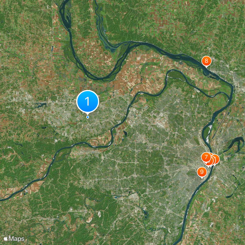
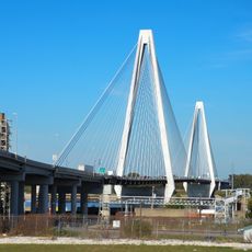
St. Charles County is an administrative division in eastern Missouri that combines residential neighborhoods, commercial areas, and natural landscapes. The region lies along the Missouri River corridor and supports diverse communities throughout its territory.

History

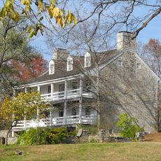
The county was established in 1812 and named after Saint Charles Borromeo, reflecting its early Catholic heritage. It grew from a frontier settlement into a significant population center within Missouri.

Culture

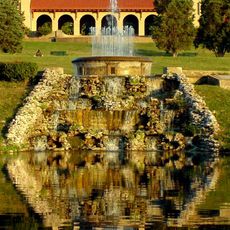
The wine region around Augusta draws visitors to local vineyards where you can taste wines made from grapes grown in the area. These operations reflect Missouri's long-standing connection to wine production and rural farming traditions.

Practical

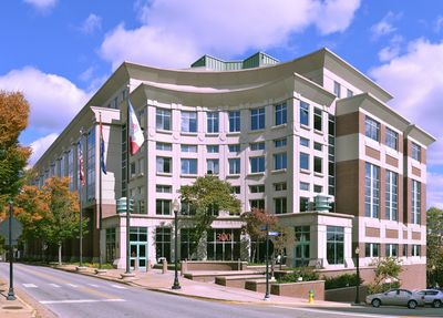
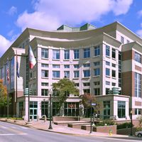
The county seat is located in St. Charles and serves as the main administrative hub for the region. The area is generally easy to navigate with clear access to communities and public services.

Did you know?

The region displays an interesting contrast between growth and heritage, visible in the blend of rural wine country and developing urban areas. This balance shows how traditional land use and modern development coexist within the same boundaries.

Location
Inception
1812
Capital city
St. Charles
Shares border with
Calhoun County, St. Louis County, Jersey County, Madison County, Franklin County, Warren County, Lincoln County
GPS coordinates
38.76000,-90.61667
Latest update
December 17, 2025 08:45

AroundUs brings together thousands of curated places, local tips, and hidden gems, enriched daily by 60,000 contributors worldwide. Discover all places nearby (Missouri).

Around this place
Gateway Arch
United States of America

Gateway Arch

40.4 km
The Dome at America's Center
United States of America

The Dome at America's Center

39.8 km
Eads Bridge
United States of America

Eads Bridge

41.4 km
Gateway Arch National Park
United States of America

Gateway Arch National Park

40.4 km
Busch Memorial Stadium
United States of America

Busch Memorial Stadium

39.8 km
City Museum
United States of America

City Museum

38.8 km
Piasa
United States of America

Piasa

39.3 km
Lemp Mansion
United States of America

Lemp Mansion

39.5 km
Bellerive Country Club
United States of America

Bellerive Country Club

16.1 km
Forest Park
United States of America

Forest Park

31.8 km
World Wide Technology Raceway at Gateway
United States of America

World Wide Technology Raceway at Gateway

43.5 km
Wainwright Building
United States of America

Wainwright Building

39.7 km
Cathedral Basilica of Saint Louis
United States of America

Cathedral Basilica of Saint Louis

34.1 km
Missouri Botanical Garden
United States of America

Missouri Botanical Garden

35.1 km
Katy Trail State Park
United States of America

Katy Trail State Park

29.4 km
Chain of Rocks Bridge
United States of America

Chain of Rocks Bridge

38.2 km
Saint Louis Zoo
United States of America

Saint Louis Zoo

31.5 km
Saint Louis Art Museum
United States of America

Saint Louis Art Museum

31 km
Bellefontaine Cemetery
United States of America

Bellefontaine Cemetery

34 km
Harris–Stowe State University
United States of America

Harris–Stowe State University

36.4 km
Fox Theatre
United States of America

Fox Theatre

36.1 km
Kiel Auditorium
United States of America

Kiel Auditorium

38.9 km
World Chess Hall of Fame
United States of America

World Chess Hall of Fame

33.5 km
St. Louis Public Library
United States of America

St. Louis Public Library

39 km
Anheuser-Busch Brewery
United States of America

Anheuser-Busch Brewery

39.5 km
Stan Musial Veterans Memorial Bridge
United States of America

Stan Musial Veterans Memorial Bridge

40.2 km
Stifel Theatre
United States of America

Stifel Theatre

38.9 km
Daniel Boone Home
United States of America

Daniel Boone Home

23.9 km
Show the full map
Administrative divisions
« St. Charles County - Administrative division in eastern Missouri, US » is provided by Around Us (aroundus.com). Images and texts are derived from Wikimedia project under a Creative Commons license. You are allowed to copy, distribute, and modify copies of this page, under the conditions set by the license, as long as this note is clearly visible.

Discover hidden gems everywhere you go!

From secret cafés to breathtaking viewpoints, skip the crowded tourist spots and find places that match your style. Our app makes it easy with voice search, smart filtering, route optimization, and insider tips from travelers worldwide. Download now for the complete mobile experience.

Around Us App Screenshot

A unique approach to discovering new places

Le Figaro

All the places worth exploring

France Info

A tailor-made excursion in just a few clicks

20 Minutes

Around Us
Travel Guide & Maps
Download

Send to your phone

QR Code
1

Open the camera app on your mobile.

2

Point at the QR code with your camera. A notification will appear.

3

Tap the notification to open the link.