Madison County, County seat in Missouri Lead Belt region, US
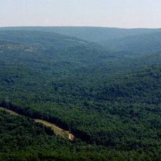
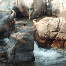
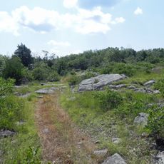
Madison County is a county in northeastern Missouri's Ozark Highlands region, featuring forests, hills, and numerous creeks throughout its territory. The administrative center in Fredericktown sits at the intersection of U.S. Route 67 and Missouri Route 72.
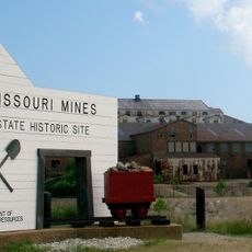
The county was established in 1818 and named after President James Madison. It contains Mine La Motte, one of North America's earliest European lead mining settlements.
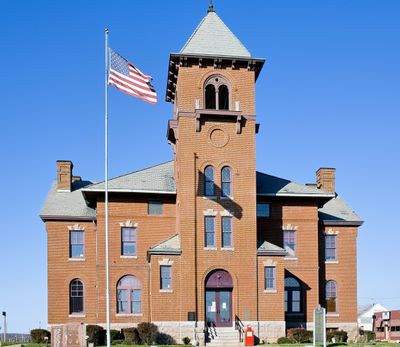
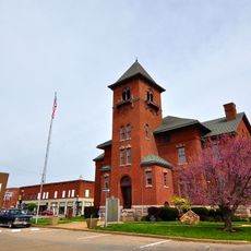
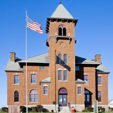
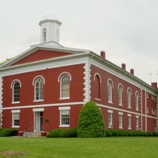
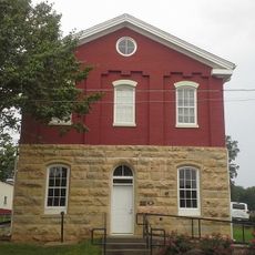
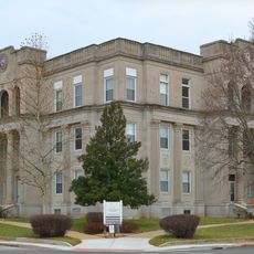
The county takes its name from President James Madison, and the courthouse in Fredericktown serves as the hub for community gatherings and local affairs. Visitors can observe how residents maintain connection to mining and farming heritage through their daily lives.
Fredericktown provides the main orientation point, as major routes intersect there and services are centralized. The terrain is hilly, so plan accordingly when exploring the broader area.
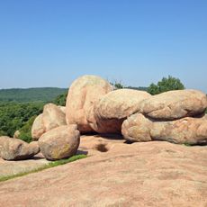
The region sits atop a geological dome within the Saint Francois Mountains, home to the oldest lead mine west of the Mississippi River. This underground geology shaped economic development from the earliest European settlements onward.
The community of curious travelers
AroundUs brings together thousands of curated places, local tips, and hidden gems, enriched daily by 60,000 contributors worldwide.