Enable Location

We need your location to show you interesting places around you

Discover nearby places

Find interesting locations and hidden gems around you

Precise directions

Get accurate directions and distances to places

Your location is never shared with other users. It's only used when you tap the location button.

Stevens County

Log in to your account

Start exploring — it's free

Trusted by 62,381 travelers worldwide

Continue with Google
Continue with Apple
or

We will send you a code to connect

By continuing, you accept our Terms and Conditions and our Privacy Policy

Check your inbox

We've sent a pincode in your inbox. Please enter the code below.

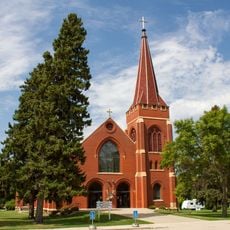
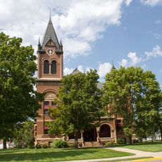
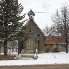
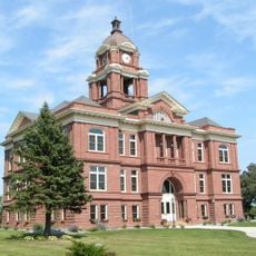
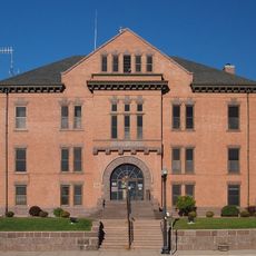
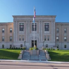
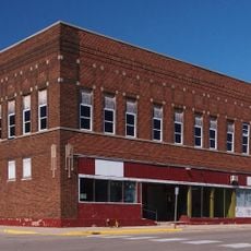
Stevens County, County in west-central Minnesota, United States

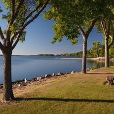
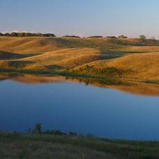
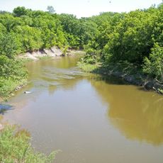
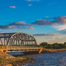
Stevens County is a county in west-central Minnesota with gently rolling hills and agricultural farmland. The Pomme de Terre River flows through the central region and shapes the landscape of the area.

The county was established in 1862 and named after Isaac Ingalls Stevens, who surveyed railroad routes in the 1850s. A clerical mix-up initially assigned this name to another county, but the error was later corrected.

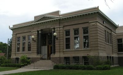
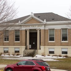
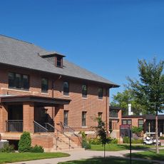
The University of Minnesota Morris, located in the county seat, transformed from the Morris Industrial School for Indians established in 1887.

U.S. Highway 59 and several Minnesota State Highways connect the area to neighboring regions and enable easy travel through it. The main roads help visitors navigate the terrain and reach individual communities.

Another Minnesota county accidentally received the Stevens name first due to a clerical error in 1855, but was later renamed Stearns County. This unusual mix-up shows how a simple mistake once affected the naming of local government areas.

The community of curious travelers

AroundUs brings together thousands of curated places, local tips, and hidden gems, enriched daily by 60,000 contributors worldwide.

Start exploring
Location
Inception
February 20, 1862
Capital city
Morris
Shares border with
Grant County, Swift County, Douglas County, Pope County, Traverse County, Big Stone County
GPS coordinates
45.58000,-96.00000
Latest update
December 10, 2025 15:59
Around this place
Kensington Runestone
United States of America

Kensington Runestone

36.4 km
Big Stone Lake
United States of America

Big Stone Lake

51.9 km
Glacial Lakes State Park
United States of America

Glacial Lakes State Park

37.6 km
Lac qui Parle State Park
United States of America

Lac qui Parle State Park

61.9 km
Big Stone Lake State Park
United States of America

Big Stone Lake State Park

45.7 km
Big Stone National Wildlife Refuge
United States of America

Big Stone National Wildlife Refuge

46.4 km
Glenwood Public Library
United States of America

Glenwood Public Library

48.3 km
Church of St. Bridget-Catholic
United States of America

Church of St. Bridget-Catholic

54.8 km
Terrace Mill
United States of America

Terrace Mill

53.5 km
Swift County Courthouse
United States of America

Swift County Courthouse

42.7 km
Church of St. Francis Xavier
United States of America

Church of St. Francis Xavier

42.9 km
Gethsemane Episcopal Church
United States of America

Gethsemane Episcopal Church

42.2 km
Grant County Courthouse
United States of America

Grant County Courthouse

46.2 km
Big Stone County Courthouse
United States of America

Big Stone County Courthouse

46.3 km
Lewis H. Stanton House
United States of America

Lewis H. Stanton House

6 km
Morris Carnegie Library
United States of America

Morris Carnegie Library

6.4 km
Christ Episcopal Church
United States of America

Christ Episcopal Church

43 km
Roosevelt Hall
United States of America

Roosevelt Hall

37.8 km
Appleton City Hall
United States of America

Appleton City Hall

42.4 km
Urjans Iverson House
United States of America

Urjans Iverson House

59.8 km
Pope County Courthouse
United States of America

Pope County Courthouse

48.3 km
Daniel Pennie House
United States of America

Daniel Pennie House

58.8 km
Alberta Teachers House
United States of America

Alberta Teachers House

3.8 km
Sabin S. Murdock House
United States of America

Sabin S. Murdock House

62 km
Fremad Association Building
United States of America

Fremad Association Building

48.1 km
Milan Bridge
United States of America

Milan Bridge

53.7 km
Graceville Historical Marker
United States of America

Graceville Historical Marker

35.1 km
West Central School of Agriculture and Experiment Station Historic District
United States of America

West Central School of Agriculture and Experiment Station Historic District

7.9 km
Show the full map
« Stevens County - County in west-central Minnesota, United States » is provided by Around Us (aroundus.com). Images and texts are derived from Wikimedia project under a Creative Commons license. You are allowed to copy, distribute, and modify copies of this page, under the conditions set by the license, as long as this note is clearly visible.

Discover hidden gems everywhere you go!

From secret cafés to breathtaking viewpoints, skip the crowded tourist spots and find places that match your style. Our app makes it easy with voice search, smart filtering, route optimization, and insider tips from travelers worldwide. Download now for the complete mobile experience.

Around Us App Screenshot

A unique approach to discovering new places

Le Figaro

All the places worth exploring

France Info

A tailor-made excursion in just a few clicks

20 Minutes

Around Us
Travel Guide & Maps
Download

Send to your phone

QR Code
1

Open the camera app on your mobile.

2

Point at the QR code with your camera. A notification will appear.

3

Tap the notification to open the link.