Enable Location

We need your location to show you interesting places around you

Discover nearby places

Find interesting locations and hidden gems around you

Precise directions

Get accurate directions and distances to places

Your location is never shared with other users. It's only used when you tap the location button.

Truman Parkway

Log in to your account

Start exploring — it's free

Trusted by 61,838 travelers worldwide

Continue with Google
Continue with Apple
or

We will send you a code to connect

By continuing, you accept our Terms and Conditions and our Privacy Policy

Check your inbox

We've sent a pincode in your inbox. Please enter the code below.

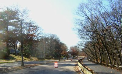
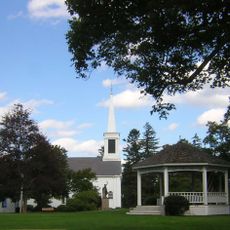
Truman Parkway, Historic parkway between Milton and Boston, United States.

Description

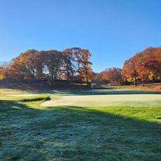
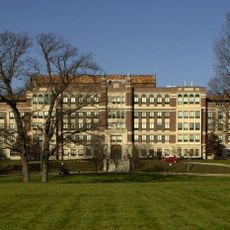
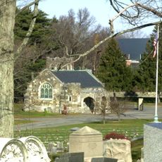
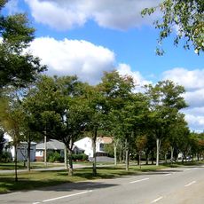
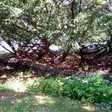
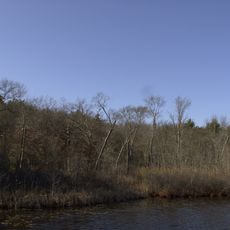
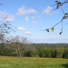
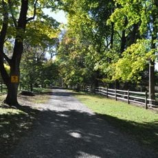
Truman Parkway is a historic road connecting Milton and Boston that spans four lanes separated by a grassy median strip. It passes through various neighborhoods and provides access to residential and commercial areas along its route.

History

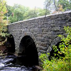
The road was completed in 1931 by the Massachusetts Department of Public Works and marked an important infrastructure project for the region. Its significance was later recognized when it was added to the National Register of Historic Places in 2005.

Culture

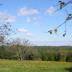
The road became an important connector between different neighborhoods after its completion and continues to shape the character of the area today. It is used regularly by residents and forms a green axis through the surrounding built environment.

Practical

The road is easily accessible and offers multiple routes for different types of travelers, with wide spaces for pedestrians and cyclists. It is best visited during daylight when traffic is predictable and the surroundings are clearly visible.

Did you know?

Unlike many other parks in the region that were managed by the Metropolitan District Commission, this road emerged from state infrastructure initiatives. This made it a standalone project that differed from the typical parkland development of the city.

Location
Location
Inception
1930s
GPS coordinates
42.25828,-71.11214
Latest update
December 14, 2025 12:21

AroundUs brings together thousands of curated places, local tips, and hidden gems, enriched daily by 60,000 contributors worldwide. Discover all places nearby (Boston).

Around this place
Forest Hills Cemetery
United States of America

Forest Hills Cemetery

4.1 km
G. H. Bent Company
United States of America

G. H. Bent Company

3.8 km
Dorchester-Milton Lower Mills Industrial District
United States of America

Dorchester-Milton Lower Mills Industrial District

3.8 km
United States of America

Camp Meigs

3.6 km
George Wright Golf Course
United States of America

George Wright Golf Course

2 km
Stony Brook Reservation
United States of America

Stony Brook Reservation

1.8 km
Eustis Estate
United States of America

Eustis Estate

3 km
Captain Robert Bennet Forbes House
United States of America

Captain Robert Bennet Forbes House

4 km
Boston Consumptives Hospital
United States of America

Boston Consumptives Hospital

3 km
Bellevue Standpipe
United States of America

Bellevue Standpipe

3.3 km
Governor Hutchinson's Field
United States of America

Governor Hutchinson's Field

4 km
Fairview Cemetery
United States of America

Fairview Cemetery

2.7 km
Mount Hope Cemetery
United States of America

Mount Hope Cemetery

2.9 km
Firemen's Memorial
United States of America

Firemen's Memorial

3.8 km
Blue Hills Parkway
United States of America

Blue Hills Parkway

1.5 km
Paul's Bridge
United States of America

Paul's Bridge

2.8 km
Gov. Thomas Hutchinson's Ha-ha
United States of America

Gov. Thomas Hutchinson's Ha-ha

3.7 km
Stony Brook Reservation Parkways
United States of America

Stony Brook Reservation Parkways

2.8 km
First Congregational Church of Hyde Park
United States of America

First Congregational Church of Hyde Park

684 m
Almont Apartments
United States of America

Almont Apartments

2.4 km
Milton Hill Historic District
United States of America

Milton Hill Historic District

3.8 km
Wakefield Estate
United States of America

Wakefield Estate

3.9 km
Roslindale Baptist Church
United States of America

Roslindale Baptist Church

3.3 km
Brush Hill Historic District
United States of America

Brush Hill Historic District

1.4 km
Milton Centre Historic District
United States of America

Milton Centre Historic District

2.7 km
Dr. Amos Holbrook House
United States of America

Dr. Amos Holbrook House

3.9 km
Benjamin Silverman Apartments
United States of America

Benjamin Silverman Apartments

4.3 km
Suffolk Resolves House
United States of America

Suffolk Resolves House

2.7 km
Show the full map
« Truman Parkway - Historic parkway between Milton and Boston, United States » is provided by Around Us (aroundus.com). Images and texts are derived from Wikimedia project under a Creative Commons license. You are allowed to copy, distribute, and modify copies of this page, under the conditions set by the license, as long as this note is clearly visible.

Discover hidden gems everywhere you go!

From secret cafés to breathtaking viewpoints, skip the crowded tourist spots and find places that match your style. Our app makes it easy with voice search, smart filtering, route optimization, and insider tips from travelers worldwide. Download now for the complete mobile experience.

Around Us App Screenshot

A unique approach to discovering new places

Le Figaro

All the places worth exploring

France Info

A tailor-made excursion in just a few clicks

20 Minutes

Around Us
Travel Guide & Maps
Download

Send to your phone

QR Code
1

Open the camera app on your mobile.

2

Point at the QR code with your camera. A notification will appear.

3

Tap the notification to open the link.