
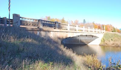
M-28–Sand River Bridge, bridge in United States of America
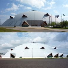
Superior Dome
23.1 km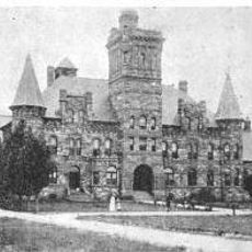
Marquette Branch Prison
21.2 km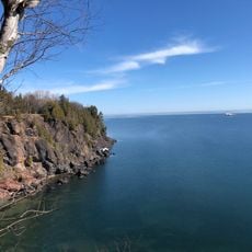
Presque Isle Park
23.4 km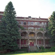
Holy Family Orphanage
23.2 km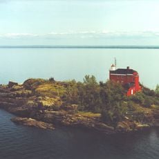
Marquette Harbor Light
21.4 km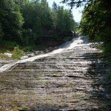
Laughing Whitefish Falls Scenic Site
12.1 km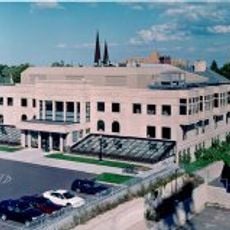
Peter White Public Library
22.6 km
Marquette County Courthouse
22.7 km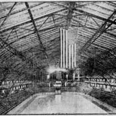
Palestra, The Marquette
23.1 km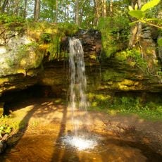
Scott Falls
24.7 km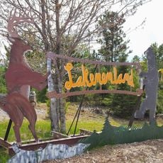
Lakenenland
3.4 km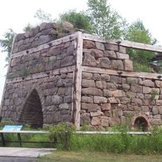
Onota, Au Train Township, Michigan
31.4 km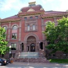
Marquette City Hall
22.7 km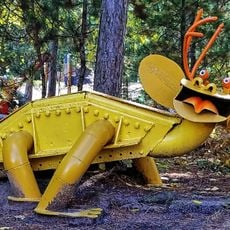
Lakenenland
3.4 km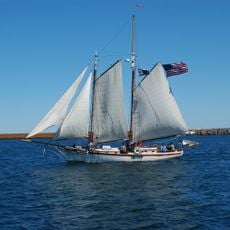
Coaster II
22.3 km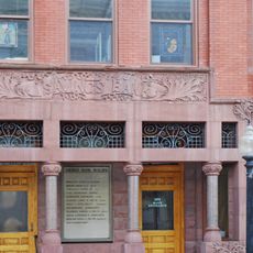
Savings Bank Building
22.5 km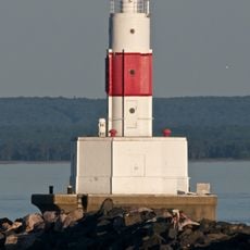
Presque Isle Harbor Breakwater Light
22.3 km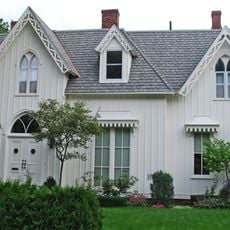
Call House
21.9 km
Arch and Ridge Streets Historic District
22 km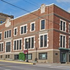
Longyear Building
22.5 km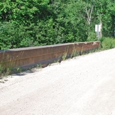
King Road–Whitefish River Bridge
25.8 km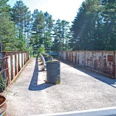
Old M-94–Au Train River Bridge
22.8 km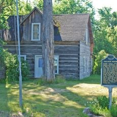
Paulson House
22 km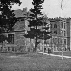
Longyear Hall of Pedagogy
23.3 km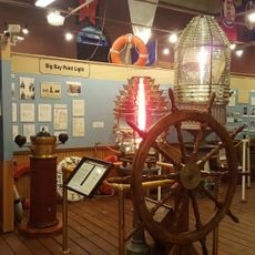
Marquette Maritime Museum
21.6 km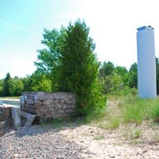
Grand Island Harbor Front Range Light
32.4 km
Marquette Regional History Center
22.7 km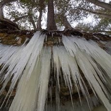
Eben ice caves
17.9 kmReviews
Visited this place? Tap the stars to rate it and share your experience / photos with the community! Try now! You can cancel it anytime.
Discover hidden gems everywhere you go!
From secret cafés to breathtaking viewpoints, skip the crowded tourist spots and find places that match your style. Our app makes it easy with voice search, smart filtering, route optimization, and insider tips from travelers worldwide. Download now for the complete mobile experience.

A unique approach to discovering new places❞
— Le Figaro
All the places worth exploring❞
— France Info
A tailor-made excursion in just a few clicks❞
— 20 Minutes