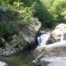
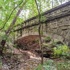
Mather Gorge, River canyon at Great Falls, United States
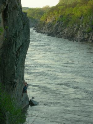
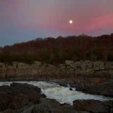
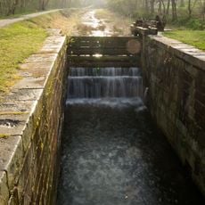
Mather Gorge is a river canyon where the Potomac River squeezes between Maryland and Virginia through a narrow rocky passage, with steep cliffs rising on both sides. The water moves forcefully through this tight section while the slopes are covered in forest that grows right down to the rock faces.
The gorge takes its name from Stephen Mather, the first director of the National Park Service, who shaped how the United States protects natural landscapes in the early 20th century. The river passage itself has been part of the region's human history for thousands of years, long before any formal protection was put in place.
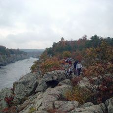
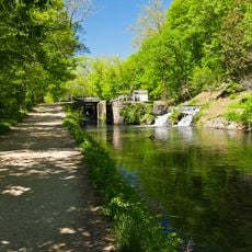
The Billy Goat Trail on the Maryland side runs directly over rocks and boulders along the riverbank, making it one of the more physically demanding paths near Washington. On the Virginia side, the River Trail offers calmer stretches with open views over the water.
The gorge can be reached from two sides: Great Falls Park in Virginia and the Chesapeake and Ohio Canal National Historical Park in Maryland. The ground is rocky and uneven throughout, so solid footwear is strongly recommended, particularly after rain.
The rapids running through the gorge are considered among the most technically demanding on the entire East Coast, drawing experienced kayakers from far away. For anyone watching from the banks, seeing such powerful river conditions so close to a major city is genuinely unexpected.
The community of curious travelers
AroundUs brings together thousands of curated places, local tips, and hidden gems, enriched daily by 60,000 contributors worldwide.