Enable Location

We need your location to show you interesting places around you

Discover nearby places

Find interesting locations and hidden gems around you

Precise directions

Get accurate directions and distances to places

Your location is never shared with other users. It's only used when you tap the location button.

Oak Hill High School

Log in to your account

Start exploring — it's free

Trusted by 62,532 travelers worldwide

Continue with Google
Continue with Apple
or

We will send you a code to connect

By continuing, you accept our Terms and Conditions and our Privacy Policy

Check your inbox

We've sent a pincode in your inbox. Please enter the code below.

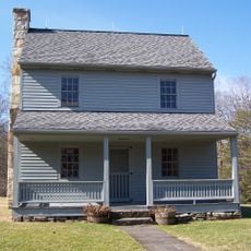
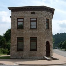
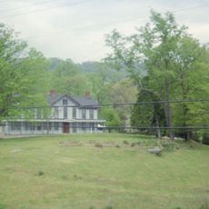
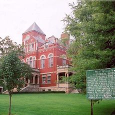
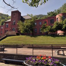
Oak Hill High School, high school in Oak Hill, Fayette County, West Virginia

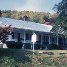
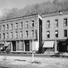
Oak Hill High School is a high school in the town of Oak Hill in West Virginia. The building has served the local community for many years and is listed on the National Register of Historic Places for its historical value to the area.

The school was founded to serve the growing community and has developed into an established center of education and community life. Its listing on the National Register reflects its importance to the area's development and heritage.

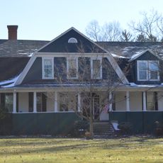
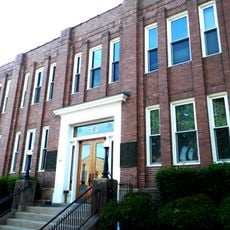
The school building reflects the local character of the community it serves, with its structure integrated into the town's everyday landscape where students and families pass through regularly.

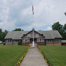
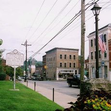
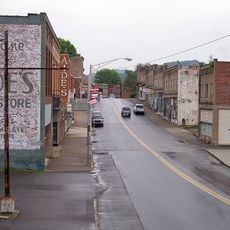
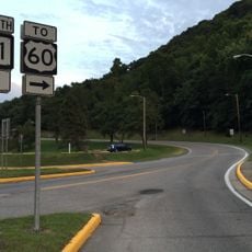
The school is located within the town of Oak Hill and is easily found from the main roads. Visitors should check in advance about public events or visiting opportunities since this is an active school facility rather than a typical tourist site.

The school displays red and black as its official colors, which shape the identity and spirit of the institution. These colors are a visual tradition that connects the school to its broader community through shared symbols.

The community of curious travelers

AroundUs brings together thousands of curated places, local tips, and hidden gems, enriched daily by 60,000 contributors worldwide.

Start exploring
Location
Inception
1928
Phone
GPS coordinates
37.99117,-81.14831
Latest update
February 9, 2026 08:23
Around this place
New River Gorge Bridge
United States of America

New River Gorge Bridge

10.4 km
Hawks Nest State Park
United States of America

Hawks Nest State Park

14.7 km
Babcock State Park
United States of America

Babcock State Park

15.5 km
Phil G. McDonald Bridge
United States of America

Phil G. McDonald Bridge

26.5 km
Carnifex Ferry Battlefield State Park
United States of America

Carnifex Ferry Battlefield State Park

30.4 km
Tamarack Marketplace
United States of America

Tamarack Marketplace

22 km
Little Beaver State Park
United States of America

Little Beaver State Park

26.9 km
Phillips-Sprague Mine
United States of America

Phillips-Sprague Mine

23.4 km
Tunney Hunsaker Bridge
United States of America

Tunney Hunsaker Bridge

10.3 km
Bank of Glen Jean
United States of America

Bank of Glen Jean

7 km
Page-Vawter House
United States of America

Page-Vawter House

16.7 km
Camp Washington-Carver Complex
United States of America

Camp Washington-Carver Complex

15.7 km
Wildwood
United States of America

Wildwood

24.8 km
Beckley Courthouse Square Historic District
United States of America

Beckley Courthouse Square Historic District

24.1 km
Contentment
United States of America

Contentment

16.5 km
E. B. Hawkins House
United States of America

E. B. Hawkins House

8.1 km
Fayetteville Historic District
United States of America

Fayetteville Historic District

7.6 km
Mount Hope Historic District
United States of America

Mount Hope Historic District

11.1 km
Fayette County Courthouse
United States of America

Fayette County Courthouse

8 km
New River Company General Office Building
United States of America

New River Company General Office Building

10.7 km
Pratt Historic District
United States of America

Pratt Historic District

32 km
Dr. John Hughart House
United States of America

Dr. John Hughart House

18.8 km
Earl M. Vickers Bridge
United States of America

Earl M. Vickers Bridge

25.9 km
Glade Creek Grist Mill
United States of America

Glade Creek Grist Mill

17.7 km
Fayette Station Road
United States of America

Fayette Station Road

10.4 km
Main Building
United States of America

Main Building

26.1 km
Nuttall Coal Mine Conveyor
United States of America

Nuttall Coal Mine Conveyor

11.5 km
Thurmond Historic District
United States of America

Thurmond Historic District

7.2 km
Show the full map
« Oak Hill High School - high school in Oak Hill, Fayette County, West Virginia » is provided by Around Us (aroundus.com). Images and texts are derived from Wikimedia project under a Creative Commons license. You are allowed to copy, distribute, and modify copies of this page, under the conditions set by the license, as long as this note is clearly visible.

Discover hidden gems everywhere you go!

From secret cafés to breathtaking viewpoints, skip the crowded tourist spots and find places that match your style. Our app makes it easy with voice search, smart filtering, route optimization, and insider tips from travelers worldwide. Download now for the complete mobile experience.

Around Us App Screenshot

A unique approach to discovering new places

Le Figaro

All the places worth exploring

France Info

A tailor-made excursion in just a few clicks

20 Minutes

Around Us
Travel Guide & Maps
Download

Send to your phone

QR Code
1

Open the camera app on your mobile.

2

Point at the QR code with your camera. A notification will appear.

3

Tap the notification to open the link.