Chest opened
+${chestReward.xp} XP
Explorer
NOUVEAU ×${chestReward.collectible.quantity}
tapez pour fermer
Chest locked

Open chests in the app

Around Us is built for your phone — chests unlock when you walk, explore and capture nearby places.

Enable Location

We need your location to show you interesting places around you

Discover nearby places

Find interesting locations and hidden gems around you

Precise directions

Get accurate directions and distances to places

Your location is never shared with other users. It's only used when you tap the location button.

Log in to your account

Start exploring — it's free

Trusted by 72,891 travelers worldwide

Continue with Google
Continue with Apple
or

We will send you a code to connect

By continuing, you accept our Terms and Conditions and our Privacy Policy

Check your inbox

We've sent a pincode in your inbox. Please enter the code below.

Sand Mountain
Discussion Reviews Photo
24k Popularity

Sand Mountain, Sandstone plateau in northeastern Alabama, United States

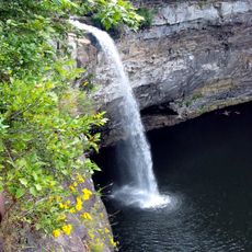
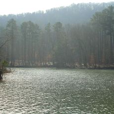
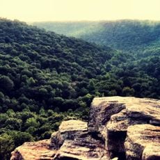
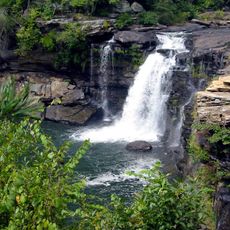
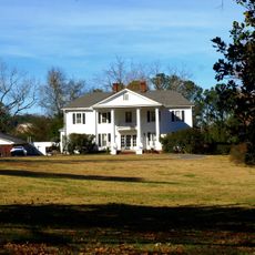
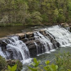
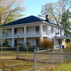
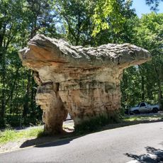
Sand Mountain is a sandstone plateau in northeastern Alabama that spreads across multiple counties and forms part of a larger highland region. The elevated terrain shapes its climate and creates varied landscapes across the area.

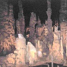
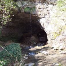
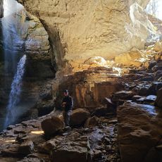
Humans have inhabited this area for thousands of years, as shown by archaeological discoveries at a nearby cave site. This long human presence connects the region to a deep past extending back to ancient times.

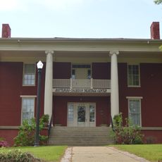
The communities on the plateau have preserved deep religious traditions that shape daily life in these mountain settlements. Music and worship practices passed down through generations remain central to how people here gather and celebrate together.

The elevated position creates cooler temperatures compared to surrounding lowland areas. Visitors should prepare for variable weather and watch for uneven terrain when exploring the region.

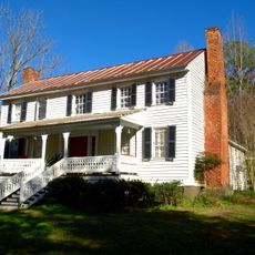
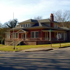
In the early 1900s, Russian Jewish families started a farming community on the mountain that lasted only a few years before being abandoned. This forgotten chapter reveals the region's complex history beyond its natural features.

The community of curious travelers

AroundUs brings together thousands of curated places, local tips, and hidden gems, enriched daily by 60,000 contributors worldwide.

Start exploring
Location
GPS coordinates
34.45000,-86.00000
Latest update
December 20, 2025 13:24
Around this place
Cathedral Caverns State Park
United States of America

Cathedral Caverns State Park

24.6 km
DeSoto State Park
United States of America

DeSoto State Park

35.3 km
Snead State Community College
United States of America

Snead State Community College

31.8 km
Lake Guntersville State Park
United States of America

Lake Guntersville State Park

20 km
Buck's Pocket State Park
United States of America

Buck's Pocket State Park

5.2 km
Sauta Cave National Wildlife Refuge
United States of America

Sauta Cave National Wildlife Refuge

21.8 km
Little River Falls
United States of America

Little River Falls

34.8 km
Comer Bridge
United States of America

Comer Bridge

21.4 km
Cherokee Plantation
United States of America

Cherokee Plantation

30.4 km
W. B. Davis Hosiery Mill
United States of America

W. B. Davis Hosiery Mill

26.1 km
Winston Place
United States of America

Winston Place

37.8 km
Fort Payne Opera House
United States of America

Fort Payne Opera House

25.7 km
High Falls Park
United States of America

High Falls Park

8.2 km
Dancy-Polk House
United States of America

Dancy-Polk House

18.3 km
Julia Street Memorial United Methodist Church
United States of America

Julia Street Memorial United Methodist Church

31.5 km
Vance C. Larmore House
United States of America

Vance C. Larmore House

32.7 km
Fort Payne Main Street Historic District
United States of America

Fort Payne Main Street Historic District

25.5 km
Edward Fenns Whitman House
United States of America

Edward Fenns Whitman House

31.5 km
Thomas A. Snellgrove Homestead
United States of America

Thomas A. Snellgrove Homestead

31.5 km
Downtown Guntersville Historic District
United States of America

Downtown Guntersville Historic District

28.8 km
Fort Payne Boom Town Historic District
United States of America

Fort Payne Boom Town Historic District

25.8 km
Brown-Proctor House
United States of America

Brown-Proctor House

24.9 km
Old Rock School
United States of America

Old Rock School

29.9 km
Henry-Jordan House
United States of America

Henry-Jordan House

28.5 km
Albert G. Henry, Jr., House
United States of America

Albert G. Henry, Jr., House

28.6 km
Fort Payne Residential Historic District
United States of America

Fort Payne Residential Historic District

25.4 km
Stephen's Gap Trail
United States of America

Stephen's Gap Trail

32.3 km
Mushroom Rock
United States of America

Mushroom Rock

34.9 km
Show the full map
Reviews
Share your experience

No review yet

Discussions
Start a discussion...

No discussion yet

« Sand Mountain - Sandstone plateau in northeastern Alabama, United States » is provided by Around Us (aroundus.com). Images and texts are derived from Wikimedia project under a Creative Commons license. You are allowed to copy, distribute, and modify copies of this page, under the conditions set by the license, as long as this note is clearly visible.

Discover hidden gems everywhere you go!

From secret cafés to breathtaking viewpoints, skip the crowded tourist spots and find places that match your style. Our app makes it easy with voice search, smart filtering, route optimization, and insider tips from travelers worldwide. Download now for the complete mobile experience.

Around Us App Screenshot

A unique approach to discovering new places

Le Figaro

All the places worth exploring

France Info

A tailor-made excursion in just a few clicks

20 Minutes

Around Us
Travel Guide & Maps
Download

Send to your phone

QR Code
1

Open the camera app on your mobile.

2

Point at the QR code with your camera. A notification will appear.

3

Tap the notification to open the link.