Shavers Fork Mountain Complex

Log in to your account

AroundUs is a community-driven map of interesting places, built by curious explorers like you. It grows with every review, story, and photo you share.
Connect to save your favorite spots, contribute locations, and create personalized routes.
Continue with Google
Continue with Apple
Continue with X
Continue with Facebook
Continue with email
By continuing, you accept our Terms and Conditions and our Privacy Policy
Create an account

Shavers Fork Mountain Complex

Add to collection
Map
Suggest a change
Share

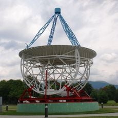
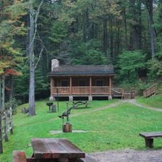
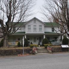
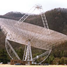
Shavers Fork Mountain Complex, Protected mountain area in Tucker County, United States.

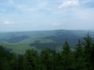
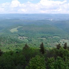
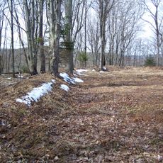
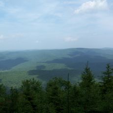
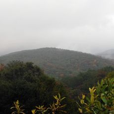
Shavers Fork Mountain Complex is a protected mountain area spanning three counties and featuring diverse ranges, streams, and wildlife throughout West Virginia's highlands. The region contains varied terrain with different forest types and water systems supporting the local ecosystem.

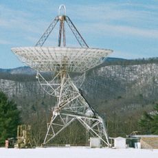
The complex held military importance during the Civil War when the Union Army built one of its highest fortifications on Cheat Mountain. This presence marked the area's strategic value during the conflict.

The Civilian Conservation Corps initiated reforestation projects in the 1930s, marking a shift from industrial logging to environmental preservation.

The area experiences frost year-round, with winter temperatures dropping considerably and heavy snow occurring between November and April. Visitors should prepare for changing weather and dress appropriately for different seasons.

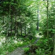
The Gaudineer Scenic Area preserves 50 acres of virgin red spruce forest that was saved from logging due to a historical surveying error. This accidental protection created one of the few remaining old-growth forests in the region.

Location: Tucker County

Location: Pocahontas County

Location: Randolph County

GPS coordinates: 38.61530,-79.84420

Latest update: December 14, 2025 14:22

Photos
Around this place
Green Bank Telescope
United States of America

Green Bank Telescope

20.3 km
Cass Scenic Railroad State Park
United States of America

Cass Scenic Railroad State Park

25.1 km
Durbin and Greenbrier Valley Railroad
United States of America

Durbin and Greenbrier Valley Railroad

7.9 km
Bald Knob
United States of America

Bald Knob

20.1 km
Huttonsville Correctional Center
United States of America

Huttonsville Correctional Center

14.8 km
Green Bank Interferometer
United States of America

Green Bank Interferometer

20.3 km
White Top
United States of America

White Top

3 km
Gaudineer Scenic Area
United States of America

Gaudineer Scenic Area

1.4 km
Gaudineer Knob
United States of America

Gaudineer Knob

10 m
Reber Radio Telescope
United States of America

Reber Radio Telescope

20.7 km
40-foot telescope
United States of America

40-foot telescope

19.9 km
Laurel Fork North Wilderness
United States of America

Laurel Fork North Wilderness

21.7 km
Middle Mountain Cabins
United States of America

Middle Mountain Cabins

12.5 km
Tygart Valley Homesteads Historic District
United States of America

Tygart Valley Homesteads Historic District

18.8 km
Laurel Fork South Wilderness
United States of America

Laurel Fork South Wilderness

15.3 km
Camp Bartow Historic District
United States of America

Camp Bartow Historic District

11.2 km
E. E. Hutton House
United States of America

E. E. Hutton House

16.2 km
Cass Historic District
United States of America

Cass Historic District

25.8 km
Beverly Historic District
United States of America

Beverly Historic District

25.3 km
Butcher Hill Historic District
United States of America

Butcher Hill Historic District

25.5 km
Blackman-Bosworth Store
United States of America

Blackman-Bosworth Store

25.3 km
Green Bank Observatory
United States of America

Green Bank Observatory

19.8 km
Green Bank Observatory Science Center
United States of America

Green Bank Observatory Science Center

20.7 km
300 foot Radio Telescope
United States of America

300 foot Radio Telescope

20.3 km
Green Bank Jansky Antenna
United States of America

Green Bank Jansky Antenna

20.6 km
Beverly Heritage Center
United States of America

Beverly Heritage Center

25.2 km
Howard E. Tatel Radio Telescope
United States of America

Howard E. Tatel Radio Telescope

20 km
Green Bank 85-3 telescope
United States of America

Green Bank 85-3 telescope

20.7 km
Show the full map
Reviews

Visited this place? Tap the stars to rate it and share your experience / photos with the community! Try now! You can cancel it anytime.

« Shavers Fork Mountain Complex - Protected mountain area in Tucker County, United States » is provided by Around Us (aroundus.com). Images and texts are derived from Wikimedia project under a Creative Commons license. You are allowed to copy, distribute, and modify copies of this page, under the conditions set by the license, as long as this note is clearly visible.

Discover hidden gems everywhere you go!

From secret cafés to breathtaking viewpoints, skip the crowded tourist spots and find places that match your style. Our app makes it easy with voice search, smart filtering, route optimization, and insider tips from travelers worldwide. Download now for the complete mobile experience.

Around Us App Screenshot

A unique approach to discovering new places

Le Figaro

All the places worth exploring

France Info

A tailor-made excursion in just a few clicks

20 Minutes