Pocahontas County, County of West Virginia, United States.
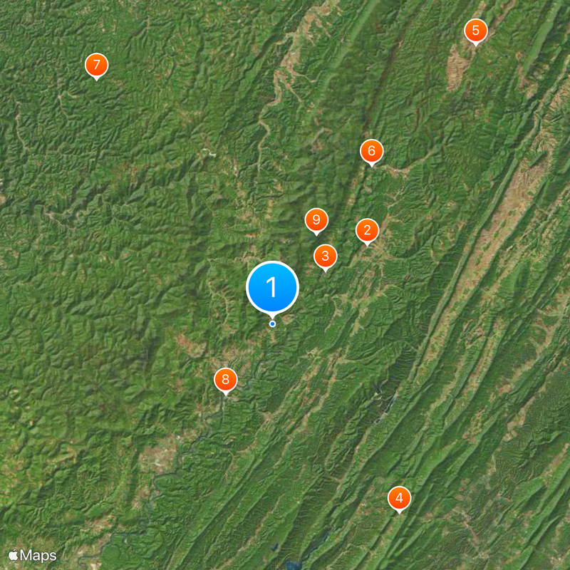
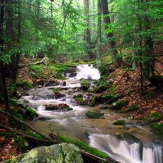
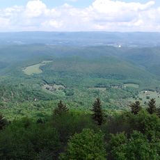
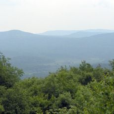
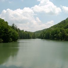
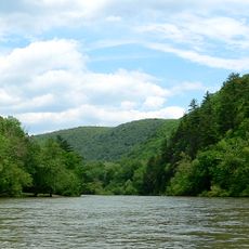
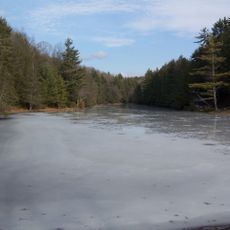
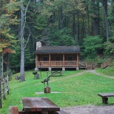
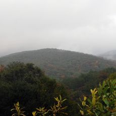
Pocahontas County is an administrative division in the mountains of West Virginia, situated at an elevation around 815 feet (250 meters). Forests, rivers, and outdoor recreation areas define the landscape of this region.
The county was established on December 21, 1821, and remained part of Virginia for decades. When West Virginia formed as a new state in 1863, this county became part of it.
Marlinton, the county seat, hosts festivals throughout the year where visitors can hear local music, see traditional crafts, and watch regional cooking competitions. These gatherings reflect how the community values and shares its cultural traditions with others.
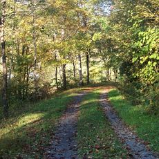
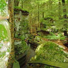
Marlinton, the administrative center, is accessible via roads through forests and is the main starting point for outdoor activities. The best time to visit is between spring and fall when weather is mild and trails are generally easy to navigate.
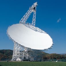
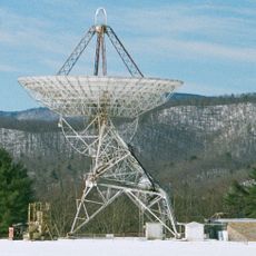
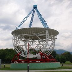
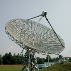
Marlinton sits within the National Radio Quiet Zone, an area with strict rules against electromagnetic interference. Residents and visitors must use specialized internet systems here to avoid disrupting scientific research equipment.
Location: West Virginia
Inception: December 21, 1821
Capital city: Marlinton
Elevation above the sea: 815 m
Shares border with: Randolph County, Bath County, Pendleton County, Highland County, Webster County, Greenbrier County
Website: http://pocahontascounty.wv.gov
GPS coordinates: 38.32000,-80.01000
Latest update: December 20, 2025 01:04
Green Bank Telescope
19.5 km
Cass Scenic Railroad State Park
11.9 km
Warm Springs Pools
35.8 kmSinks of Gandy
54.4 km
Durbin and Greenbrier Valley Railroad
29.5 km
Holly River State Park
47.4 km
Greenbrier River Trail
13.2 km
Bald Knob
15.8 km
Cranberry Wilderness
28.6 km
Beartown State Park
37.8 km
Watoga State Park
27 km
Green Bank Interferometer
19.5 km
Droop Mountain Battlefield State Park
32.7 km
Pearl S. Buck Birthplace
26.2 km
White Top
35.8 km
Gaudineer Scenic Area
37.3 km
Gaudineer Knob
35.9 kmThorny Flat
8.5 km
Reber Radio Telescope
20.8 km
40-foot telescope
20.3 kmKumbrabow State Forest
36.3 kmSee All
10.4 km
Spice Run Wilderness
36.5 km
Seneca State Forest
6.6 kmDenmar Correctional Center
31.9 km
Middle Mountain Cabins
47.5 km
Laurel Fork South Wilderness
50.5 kmDroop Mountain
37.7 kmVisited this place? Tap the stars to rate it and share your experience / photos with the community! Try now! You can cancel it anytime.
Discover hidden gems everywhere you go!
From secret cafés to breathtaking viewpoints, skip the crowded tourist spots and find places that match your style. Our app makes it easy with voice search, smart filtering, route optimization, and insider tips from travelers worldwide. Download now for the complete mobile experience.
A unique approach to discovering new places❞
— Le Figaro
All the places worth exploring❞
— France Info
A tailor-made excursion in just a few clicks❞
— 20 Minutes