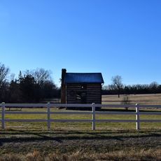
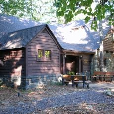
Chest opened
+${chestReward.xp} XP
Explorer
NOUVEAU ×${chestReward.collectible.quantity}
tapez pour fermer

See the monuments around you in AR Open chests in the app

Around Us is built for your phone — point your camera at the streets and discover the monuments and places around you in augmented reality. Around Us is built for your phone — chests unlock when you walk, explore and capture nearby places.

Enable Location

We need your location to show you interesting places around you

Discover nearby places

Find interesting locations and hidden gems around you

Precise directions

Get accurate directions and distances to places

Your location is never shared with other users. It's only used when you tap the location button.

Log in to your account

Start exploring — it's free

Trusted by 87,021 travelers worldwide

Continue with Google
Continue with Apple
or

We will send you a code to connect

By continuing, you accept our Terms and Conditions and our Privacy Policy

Check your inbox

We've sent a pincode in your inbox. Please enter the code below.

Southeast Missouri Lead District
Discussion Reviews Photo
14.4k Popularity

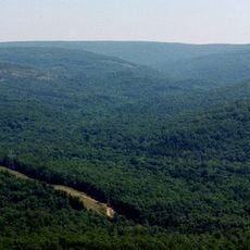
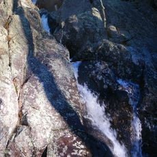
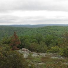
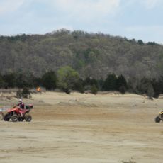
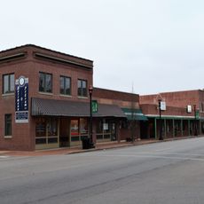
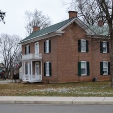
Southeast Missouri Lead District, Lead mining district in southeastern Missouri, United States

The Southeast Missouri Lead District is a mining region spanning seven counties with large deposits of galena ore. The Viburnum Trend forms the heart of current mining operations in the area.

Moses Austin began sinking shafts in Potosi in 1799 and introduced improved extraction methods that transformed regional mining. These early innovations shaped the foundation for industrial growth that followed.

Mining communities grew up around the extraction sites and remain central to local identity today. Places like Bonne Terre and Farmington still reflect the deep roots of this work in their everyday life.

The region operates as an active mining area with six working mines that define the landscape and infrastructure. Visitors should know that much of the territory is privately owned, limiting public access in most locations.

The region holds the world's largest concentration of galena deposits, alongside zinc, copper, and silver in the Bonneterre Formation. These varied mineral reserves make the area an exceptional example of geological endowment.

The community of curious travelers

AroundUs brings together thousands of curated places, local tips, and hidden gems, enriched daily by 60,000 contributors worldwide.
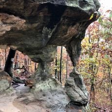
Start exploring
GPS coordinates
37.50000,-90.50000
Latest update
September 12, 2026 08:39
Around this place
Taum Sauk Mountain
United States of America

Taum Sauk Mountain

13.4 mi
Johnson's Shut-Ins State Park
United States of America

Johnson's Shut-Ins State Park

19.4 mi
Elephant Rocks State Park
United States of America

Elephant Rocks State Park

14.8 mi
Sam A. Baker State Park
United States of America

Sam A. Baker State Park

17.1 mi
Taum Sauk Mountain State Park
United States of America

Taum Sauk Mountain State Park

13.4 mi
Bell Mountain Wilderness
United States of America

Bell Mountain Wilderness

22.6 mi
St. Joe State Park
United States of America

St. Joe State Park

21.5 mi
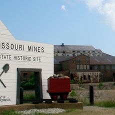
Missouri Mines State Historic Site
United States of America

Missouri Mines State Historic Site

23.4 mi
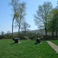
Fort Davidson
United States of America

Fort Davidson

11.8 mi
Arcadia College
United States of America

Arcadia College

9.1 mi
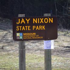
Jay Nixon State Park
United States of America

Jay Nixon State Park

16.5 mi
Buford Mountain Conservation Area
United States of America

Buford Mountain Conservation Area

18.5 mi
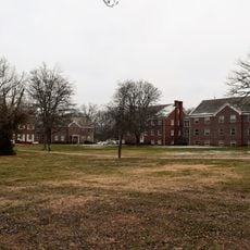
Presbyterian Orphanage of Missouri
United States of America

Presbyterian Orphanage of Missouri

20 mi
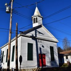
Immanuel Evangelical Lutheran Church
United States of America

Immanuel Evangelical Lutheran Church

11.7 mi
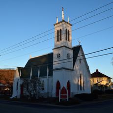
St. Paul's Episcopal Church
United States of America

St. Paul's Episcopal Church

9.8 mi
Pickle Springs
United States of America

Pickle Springs

23.5 mi
Fredericktown Courthouse Square Historic District
United States of America

Fredericktown Courthouse Square Historic District

12.2 mi
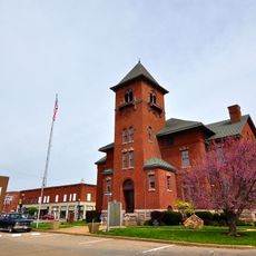
Madison County Courthouse
United States of America

Madison County Courthouse

12 mi
Iron County Courthouse
United States of America

Iron County Courthouse

9.7 mi
St. Francois County Jail and Sheriff's Residence
United States of America

St. Francois County Jail and Sheriff's Residence

19.9 mi
Courthouse Square Historic District
United States of America

Courthouse Square Historic District

19.9 mi
East Columbia Historic District
United States of America

East Columbia Historic District

19.9 mi
James Robinson McCormick House
United States of America

James Robinson McCormick House

19.8 mi
Caledonia Historic District
United States of America

Caledonia Historic District

23.5 mi
Harrison Queen House
United States of America

Harrison Queen House

25.4 mi
United States Post Office
United States of America

United States Post Office

12 mi
Ironton Lodge Hall
United States of America

Ironton Lodge Hall

9.9 mi
Sam A. Baker State Park Historic District
United States of America

Sam A. Baker State Park Historic District

16.6 mi
Show the full map
Reviews
Share your experience

No review yet

Discussions
Start a discussion...

No discussion yet

« Southeast Missouri Lead District - Lead mining district in southeastern Missouri, United States » is provided by Around Us (aroundus.com). Images and texts are derived from Wikimedia project under a Creative Commons license. You are allowed to copy, distribute, and modify copies of this page, under the conditions set by the license, as long as this note is clearly visible.

Discover hidden gems everywhere you go!

From secret cafés to breathtaking viewpoints, skip the crowded tourist spots and find places that match your style. Our app makes it easy with voice search, smart filtering, route optimization, and insider tips from travelers worldwide. Download now for the complete mobile experience.
Around Us App Screenshot

A unique approach to discovering new places

Le Figaro

All the places worth exploring

France Info

A tailor-made excursion in just a few clicks

20 Minutes

Around Us
Travel Guide & Maps
Download

Send to your phone

QR Code
1

Open the camera app on your mobile.

2

Point at the QR code with your camera. A notification will appear.

3

Tap the notification to open the link.