Chest opened
+${chestReward.xp} XP
Explorer
NOUVEAU ×${chestReward.collectible.quantity}
tapez pour fermer
Chest locked

Open chests in the app

Around Us is built for your phone — chests unlock when you walk, explore and capture nearby places.

Enable Location

We need your location to show you interesting places around you

Discover nearby places

Find interesting locations and hidden gems around you

Precise directions

Get accurate directions and distances to places

Your location is never shared with other users. It's only used when you tap the location button.

Horseheads

Log in to your account

Start exploring — it's free

Trusted by 72,886 travelers worldwide

Continue with Google
Continue with Apple
or

We will send you a code to connect

By continuing, you accept our Terms and Conditions and our Privacy Policy

Check your inbox

We've sent a pincode in your inbox. Please enter the code below.

Discussion Reviews 1 Photos
20.2k Popularity

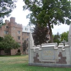
Horseheads, town of New York, USA

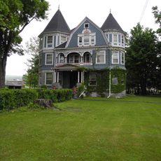
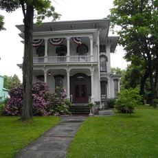
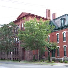
Horseheads is a town in Chemung County, New York that spans about 36 square miles (93 square kilometers) with a predominantly rural character. The landscape includes residential areas surrounded by trees, several small streams running through the region, and major routes like Interstate 86 and State Route 17 connecting it to nearby cities such as Elmira and Corning.

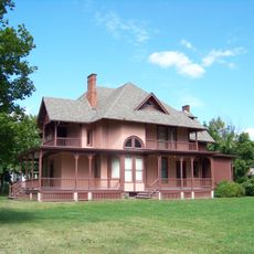
The town was established in 1835 from parts of other towns, with a village originally called Fairport incorporated in 1837 and renamed Horseheads in 1845. The name originated from a 1779 military campaign led by General George Washington against the Iroquois, during which soldiers left numerous horse remains that became the source of the place name.

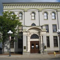
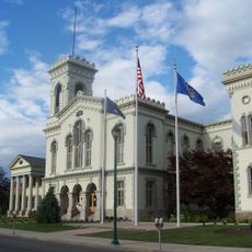
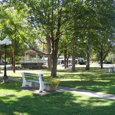
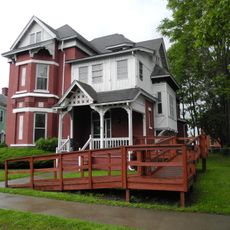
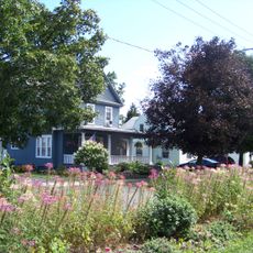
Visitors can walk through the town to explore residential neighborhoods, small parks, and a community library. Good road access via Interstate 86 and regional bus services make it easy to travel to and from nearby Elmira and surrounding areas.

The town housed a major military storage facility called The Holding Point during World War II, where German and Italian prisoners of war worked. This lesser-known chapter connects the community to global events in unexpected ways.

The community of curious travelers

AroundUs brings together thousands of curated places, local tips, and hidden gems, enriched daily by 60,000 contributors worldwide.

Start exploring
Location
GPS coordinates
42.16639,-76.82750
Latest update
February 16, 2026 22:00
Around this place
Eldridge Park
United States of America

Eldridge Park

5.8 km
Quarry Farm
United States of America

Quarry Farm

7 km
United States of America

Woodlawn National Cemetery

6.4 km
Arnot Art Museum
United States of America

Arnot Art Museum

8.7 km
Elmira Coca-Cola Bottling Company Works
United States of America

Elmira Coca-Cola Bottling Company Works

8.6 km
Park Church
United States of America

Park Church

8.7 km
Chemung County Historical Society
United States of America

Chemung County Historical Society

8.9 km
F. M. Howell and Company
United States of America

F. M. Howell and Company

9.2 km
Trinity Church
United States of America

Trinity Church

8.7 km
John W. Jones House
United States of America

John W. Jones House

6.6 km
Elmira College Old Campus
United States of America

Elmira College Old Campus

7.7 km
Chemung Canal Bank Building
United States of America

Chemung Canal Bank Building

9 km
Hanover Square Historic District
United States of America

Hanover Square Historic District

541 m
Zimmerman House
United States of America

Zimmerman House

773 m
Pentecostal Holy Temple Church of Jesus Christ
United States of America

Pentecostal Holy Temple Church of Jesus Christ

6.8 km
John Brand Jr. House
United States of America

John Brand Jr. House

9.4 km
Chemung County Courthouse Complex
United States of America

Chemung County Courthouse Complex

8.7 km
Alexander Eustace House
United States of America

Alexander Eustace House

9.5 km
Near Westside Historic District
United States of America

Near Westside Historic District

8.6 km
Teal Park
United States of America

Teal Park

688 m
John Brand Sr. House
United States of America

John Brand Sr. House

9.5 km
Pratt House
United States of America

Pratt House

8.3 km
Elmira Civic Historic District
United States of America

Elmira Civic Historic District

8.7 km
William S. Gerity House
United States of America

William S. Gerity House

8.3 km
St. Patrick's Parochial Residence-Convent and School
United States of America

St. Patrick's Parochial Residence-Convent and School

8.2 km
Elmira Heights Village Hall
United States of America

Elmira Heights Village Hall

4.1 km
Horseheads 1855 Extension Historic District
United States of America

Horseheads 1855 Extension Historic District

700 m
Chemung Valley History Museum
United States of America

Chemung Valley History Museum

8.9 km
Show the full map
Reviews
Share your experience

No review yet

Discussions
Start a discussion...

No discussion yet

« Horseheads - town of New York, USA » is provided by Around Us (aroundus.com). Images and texts are derived from Wikimedia project under a Creative Commons license. You are allowed to copy, distribute, and modify copies of this page, under the conditions set by the license, as long as this note is clearly visible.

Discover hidden gems everywhere you go!

From secret cafés to breathtaking viewpoints, skip the crowded tourist spots and find places that match your style. Our app makes it easy with voice search, smart filtering, route optimization, and insider tips from travelers worldwide. Download now for the complete mobile experience.

Around Us App Screenshot

A unique approach to discovering new places

Le Figaro

All the places worth exploring

France Info

A tailor-made excursion in just a few clicks

20 Minutes

Around Us
Travel Guide & Maps
Download

Send to your phone

QR Code
1

Open the camera app on your mobile.

2

Point at the QR code with your camera. A notification will appear.

3

Tap the notification to open the link.