
Jarvesville Historic District
Jarvesville Historic District, historic district in Sandwich, Massachusetts

Cape Cod Canal
6.4 km
Sagamore Bridge
4.5 km
Bourne Bridge
8 km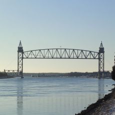
Cape Cod Canal Railroad Bridge
10.1 km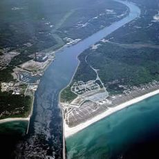
Scusset Beach State Reservation
2.4 km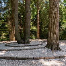
Heritage Museums and Gardens
1.6 km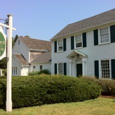
Sandwich Glass Museum
549 m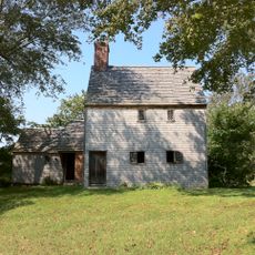
Hoxie House
537 m
Fort Banks
7.3 km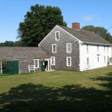
Wing Fort House
2.5 km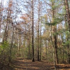
Shawme-Crowell State Forest
2.6 km
Pine Hill
8.2 km
Lowell Holly Reservation
10.3 km
Doran Park
7.2 km
First Church, Sandwich Massachusetts
485 m
Benjamin Nye Homestead
6.2 km
Jonathan Bourne Public Library
8.9 km
Bourne Town Hall
9 km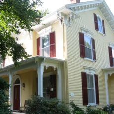
John and Mary Waterman Jarves House
194 m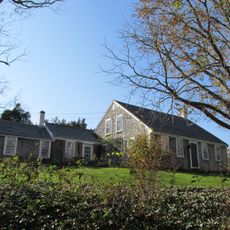
Matthias Smith House
10.2 km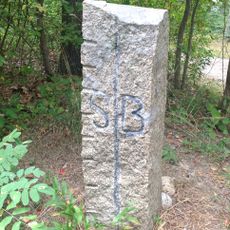
Town Boundary Marker
9.4 km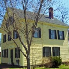
George I. Briggs House
8.8 km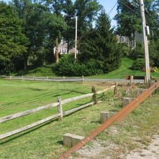
Spring Hill Historic District (Sandwich, Massachusetts)
2.1 km
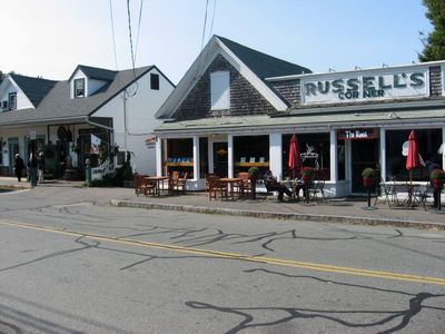
Town Hall Square Historic District
606 m
Old Bourne High School building
8.6 km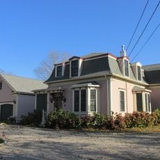
Josiah B. Whitman House
10.3 km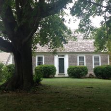
Barzillai Weeks House
8.9 km
Sagamore Beach
4.4 kmVisited this place? Tap the stars to rate it and share your experience / photos with the community! Try now! You can cancel it anytime.
Discover hidden gems everywhere you go!
From secret cafés to breathtaking viewpoints, skip the crowded tourist spots and find places that match your style. Our app makes it easy with voice search, smart filtering, route optimization, and insider tips from travelers worldwide. Download now for the complete mobile experience.

A unique approach to discovering new places❞
— Le Figaro
All the places worth exploring❞
— France Info
A tailor-made excursion in just a few clicks❞
— 20 Minutes