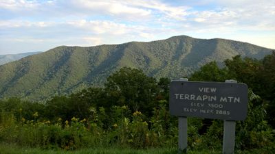
White Oak Ridge-Terrapin Mountain
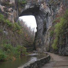
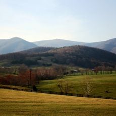
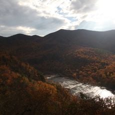
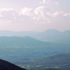
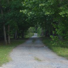
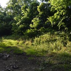
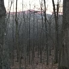
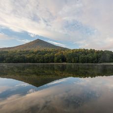
White Oak Ridge-Terrapin Mountain is a wilderness area on the eastern side of the Blue Ridge Mountains in Virginia, covering about 8,200 acres of dense forest. The terrain includes white oak, hickory, and other tree species, with several mountain streams flowing through the landscape and multiple trails for exploration.
The area was used by indigenous peoples and later by settlers, with a long history of human presence. Parts of the forest may be older than 1900 and are protected as old-growth stands, while conservation efforts preserve its natural character for future generations.
The name White Oak Ridge comes from the white oak trees that dominate the hillsides and shape the landscape's character. Visitors can observe these defining trees along the trails and understand how the vegetation connects to the place's identity.
The area is accessible from several entry points including Petites Gap on the Blue Ridge Parkway at milepost 76 and various trailheads in Bedford County. Visitors should prepare for changing weather and seasonal conditions, as rain or snow can make trails more difficult to navigate.
A section of the famous Appalachian Trail passes through the area, giving hikers access to this legendary long-distance route. Additionally, specialized horse trails like the Glenwood Horse Trail run from Petites Gap through the western section, offering different recreational options beyond hiking.
The community of curious travelers
AroundUs brings together thousands of curated places, local tips, and hidden gems, enriched daily by 60,000 contributors worldwide.