James River Face Wilderness, Protected wilderness area in Jefferson National Forest, Virginia.
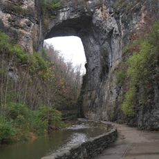
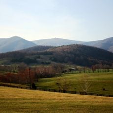
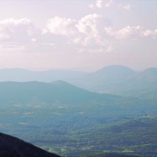
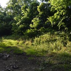
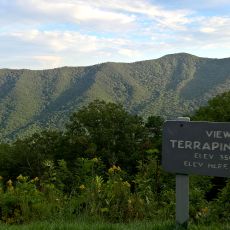
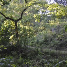
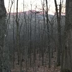
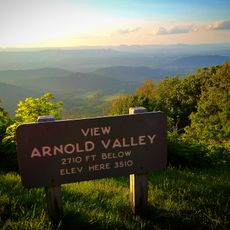
James River Face Wilderness is a protected mountain landscape where a river cuts through valleys bordered by forested slopes and rocky peaks. The terrain consists of mixed woodland, exposed ridges, and scattered outcrops that reveal themselves as you move along the trails.
The area received official protected status in 1975, becoming Virginia's first designated wilderness following a federal conservation law. This designation helped preserve the landscape from intensive human use and development.
The river and mountain slopes have shaped how people move through this land for generations, and visitors today walk similar routes to those used long before modern trails existed. The landscape reveals itself gradually as travelers make their way along the ridges and valleys, creating connections to the rhythms of the natural world.
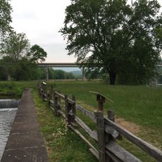
Access to the area is through multiple marked trails that start from different points and vary in difficulty. It is helpful to obtain a map before you go and check trail conditions before your visit.
The Devils Marbleyard features a striking expanse of dark quartzite boulders scattered across a mountainside, creating a striking appearance unlike the forested areas around it. This formation resulted from natural weathering and erosion over long periods, exposing these massive stone fragments to the surface.
The community of curious travelers
AroundUs brings together thousands of curated places, local tips, and hidden gems, enriched daily by 60,000 contributors worldwide.