Varney's Falls Dam, Historic lock and dam structure in Botetourt County, United States.
Varney's Falls Dam is a limestone structure built to control water flow and include a lock chamber for river navigation. The complex features a guard lock, guard wall, dam abutment, and towpath culvert as parts of what was once an active canal system.
Scottish and Irish masons built the structure between 1851 and 1858 to support water transportation and commerce. The dam was destroyed in 1881 after the Richmond and Alleghany Railroad acquired the property.
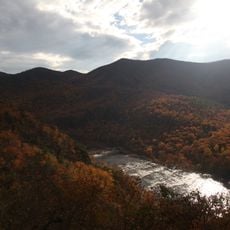
The place shows how people in the 1800s engineered waterways to move goods and boost trade across the region. Walking around it, you get a sense of how central water transport was to Virginia's industrial life back then.
The site is privately owned and requires advance permission to visit, but you can see parts of it from nearby public viewing areas. Bring sturdy shoes if you want to walk around the grounds, as the terrain can be uneven near the water's edge.
The remnants still show stonework placed by immigrant craftsmen in the 1850s, with techniques that have survived for generations. You can examine the actual craftsmanship of workers who built without modern machinery, straight in the riverbed.
The community of curious travelers
AroundUs brings together thousands of curated places, local tips, and hidden gems, enriched daily by 60,000 contributors worldwide.