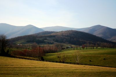
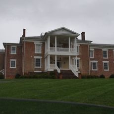
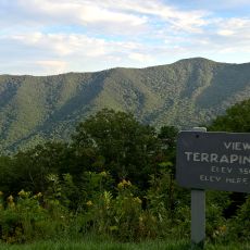
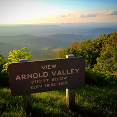
Apple Orchard Mountain, Mountain summit in Virginia, United States
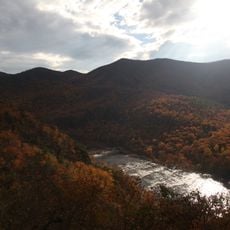
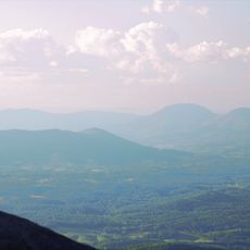
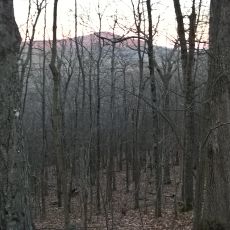
Apple Orchard Mountain is a summit in Virginia and one of the highest points along the Blue Ridge Parkway, rising above 4,200 feet. The peak is accessible through several hiking trails that pass through thick forest and connect to nearby waterfalls.
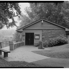
The mountain served as the site of a military radar installation during the Cold War known as Bedford Air Force Station. This facility was built to monitor potential aerial threats across the region.
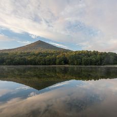
Visitors who walk the trails notice spring wildflowers blooming along the paths, including trillium and wild geraniums that locals have observed for generations. The mountain serves as a gathering place for people who want to experience the natural character of the Blue Ridge region.
The hiking trails are well marked and pass through thick forest, with the round trip taking roughly six kilometers of walking. Visitors should wear sturdy shoes and bring plenty of water since the climb is demanding.
The summit holds an FAA radar dome that sits alongside the hiking paths. Walkers also encounter a rock formation called The Guillotine, where two large boulders stand so close together that hikers squeeze between them.
The community of curious travelers
AroundUs brings together thousands of curated places, local tips, and hidden gems, enriched daily by 60,000 contributors worldwide.