
Tahc'a Okute Aglehan, summit in Oglala Lakota County, South Dakota, United States of America
Location: Oglala Lakota County
Location: South Dakota
GPS coordinates: 43.50885,-102.97382
Latest update: April 18, 2025 13:31
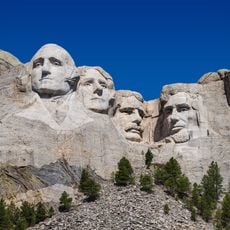
Mount Rushmore
56.7 km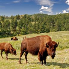
Custer State Park
44.5 km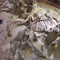
Mammoth Site, Hot Springs
42.2 km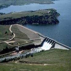
Angostura Reservoir
43.6 km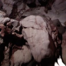
Rushmore Cave
49.9 km
Black Hills Playhouse
49.4 km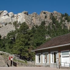
Lincoln Borglum Museum
56.4 km
Battle Mountain Sanitarium
41.6 km
Angostura Dam
41.7 km
Big Thunder Gold Mine
55.9 km
Evans Plunge
41.6 km
Governor Leslie Jensen House
41 km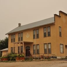
Hermosa Masonic Lodge
41 km
The National Presidential Wax Museum
55.8 km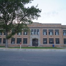
Hot Springs High School
41.9 km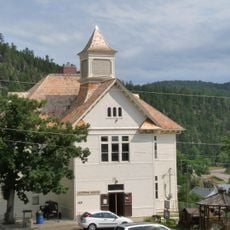
Keystone School
56 km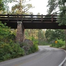
Pig Tail Bridge
43.2 km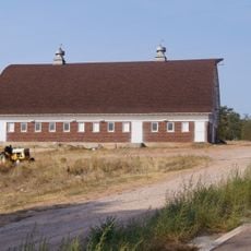
State Soldiers Home Barn
43 km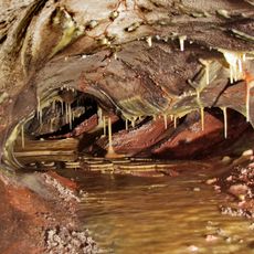
Wind Cave
41.2 km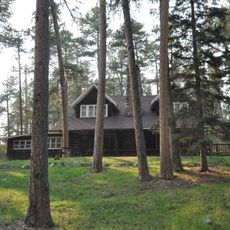
Peter Norbeck Summer House
50.5 km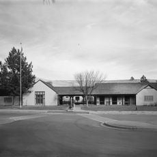
Wind Cave National Park Administrative and Utility Area Historic District
40.7 km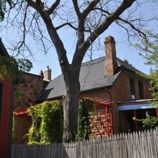
Phillip Wesch House
42.4 km
Beaver Creek Rockshelter
40.9 km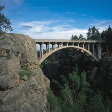
Beaver Creek Bridge
42.4 km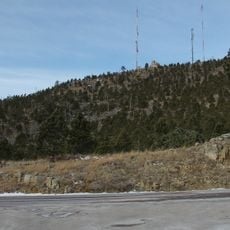
Mount Coolidge Lookout Tower
48.6 km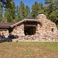
Peter Norbeck Outdoor Education Center
43.7 km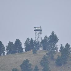
Rankin Ridge Lookout Tower
43 km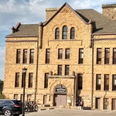
Pioneer Museum
41.5 kmReviews
Visited this place? Tap the stars to rate it and share your experience / photos with the community! Try now! You can cancel it anytime.
Discover hidden gems everywhere you go!
From secret cafés to breathtaking viewpoints, skip the crowded tourist spots and find places that match your style. Our app makes it easy with voice search, smart filtering, route optimization, and insider tips from travelers worldwide. Download now for the complete mobile experience.

A unique approach to discovering new places❞
— Le Figaro
All the places worth exploring❞
— France Info
A tailor-made excursion in just a few clicks❞
— 20 Minutes