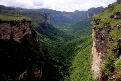
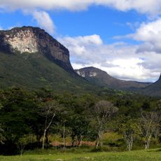
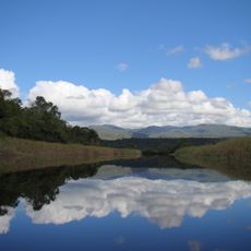
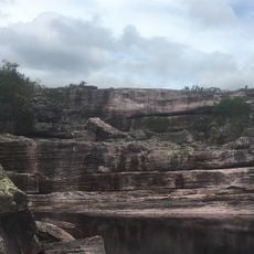
Vale do Pati, Mountain valley in Chapada Diamantina National Park, Brazil
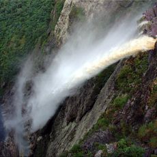
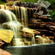
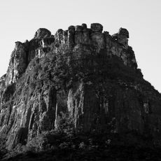
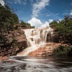
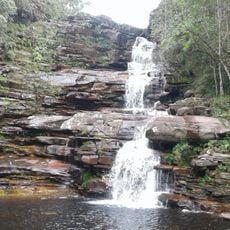
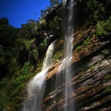
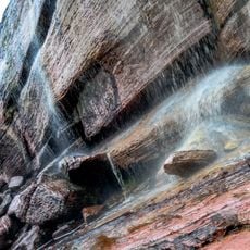
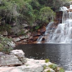
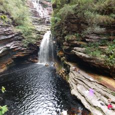
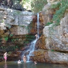
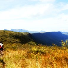
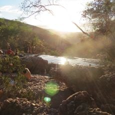
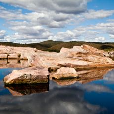
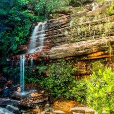
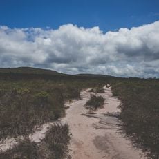
Vale do Pati is a mountain valley within a national park in Bahia state that spans several kilometers and displays diverse elevations across its terrain. The landscape is shaped by mountain ridges between which waterfalls and streams cut through, while several hiking routes cross the valley.
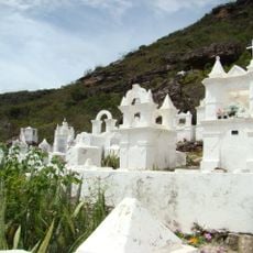
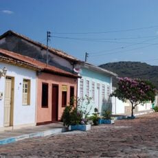
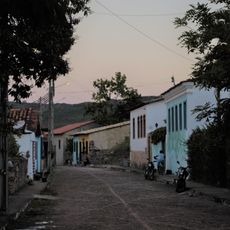
The valley saw diamond mining activities during the 19th century, which led to the establishment of settlements whose residents later turned to coffee cultivation. This shift from mining to farming shaped the region's society and land use permanently.
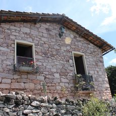
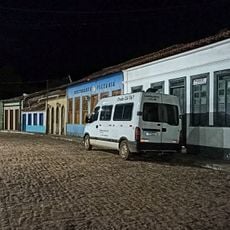
Ten families still inhabit Vale do Pati and maintain their traditional way of life by offering lodging to trekkers and preparing regional dishes with local ingredients. These communities shape the valley through their daily activities and connection with visitors who value their hospitality.
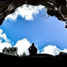
Visitors need to arrange transportation from Mucugê or Andaraí as the valley lacks public transport access and cellular network coverage. It's wise to prepare for self-navigation using maps or local guides and bring physical fitness for longer treks through the terrain.
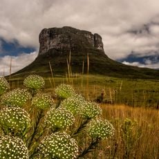
The valley hosts a wealth of plant diversity that is studied by local botanists and conservationists. The hiking paths often follow old routes once used by diamond seekers and coffee farmers, thereby linking nature with history.
The community of curious travelers
AroundUs brings together thousands of curated places, local tips, and hidden gems, enriched daily by 60,000 contributors worldwide.