
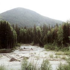
Skagit River Cottonwoods Ecological Reserve, ecological reserve in British Columbia, Canada
Location: Fraser Valley Regional District
GPS coordinates: 49.16667,-121.11583
Latest update: March 15, 2025 00:10
E. C. Manning Provincial Park
26.7 km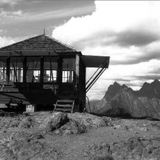
Desolation Peak
29.3 km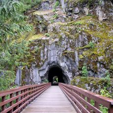
Coquihalla Canyon Provincial Park
29.2 km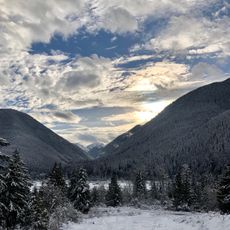
Sunshine Valley
14 km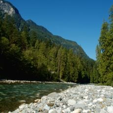
Coquihalla River
37.2 km
Hozomeen Mountain
21.9 km
Chilliwack Lake Provincial Park
25.6 km
Luna Peak
39.1 km
Silver Lake Provincial Park
27.3 km
Cascade Recreation Area
17.3 km
Depot Creek Falls
24.4 km
Mount Prophet
35.6 km
Sumallo River
6 km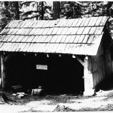
Beaver Pass Shelter
34.2 km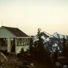
Copper Mountain Fire Lookout
38.3 km
Water Avenue Bridge
34.6 km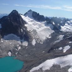
Silver Glacier
23.8 km
Bedded Range
36.9 km
Copper Mountain
35.9 km
Perry Creek Shelter
27.5 km
Whatcom Glacier
38.3 km
Desolation Peak Lookout
29.3 km
Silverhope Creek
34.1 km
Hozomeen Cabin
20.4 km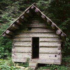
Deer Lick Cabin
31.3 km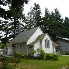
Christ Church
33.7 km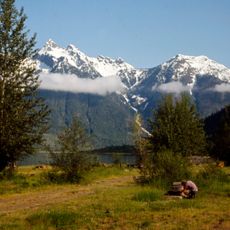
Hozomeen Campground
20.5 km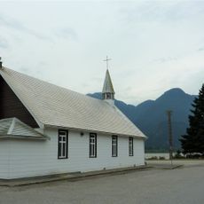
Our Lady of Good Hope Roman Catholic Church (Hope, British Columbia)
33.8 kmReviews
Visited this place? Tap the stars to rate it and share your experience / photos with the community! Try now! You can cancel it anytime.
Discover hidden gems everywhere you go!
From secret cafés to breathtaking viewpoints, skip the crowded tourist spots and find places that match your style. Our app makes it easy with voice search, smart filtering, route optimization, and insider tips from travelers worldwide. Download now for the complete mobile experience.

A unique approach to discovering new places❞
— Le Figaro
All the places worth exploring❞
— France Info
A tailor-made excursion in just a few clicks❞
— 20 Minutes