
Stoyoma Creek Ecological Reserve, ecological reserve in British Columbia, Canada
Location: Fraser Valley Regional District
GPS coordinates: 49.87917,-121.38750
Latest update: March 8, 2025 03:29
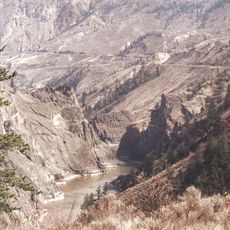
Fraser Canyon
27.5 km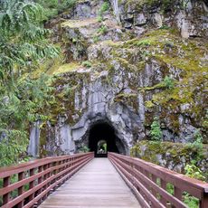
Coquihalla Canyon Provincial Park
56.7 km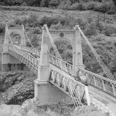
Alexandra Bridge Provincial Park
19.4 km
Coquihalla River
44.5 km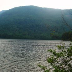
Sasquatch Provincial Park
63.1 km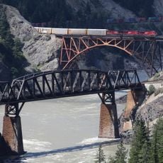
Cisco Bridges
33.3 km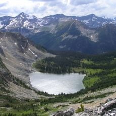
Stein Valley Nlaka'pamux Heritage Park
60.9 km
Coldwater River
33.7 km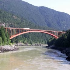
Alexandra Bridge
19.9 km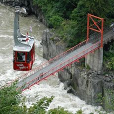
Hell's Gate Airtram
11.9 km
Silver Lake Provincial Park
62.7 km
Skihist Provincial Park
43.6 km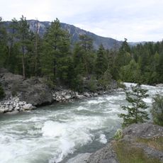
Stein River
61.9 km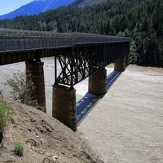
Lytton CNR Fraser Bridge
40.9 km
Allison Lake Provincial Park
60.7 km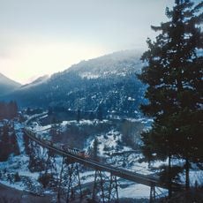
Anderson River
22.3 km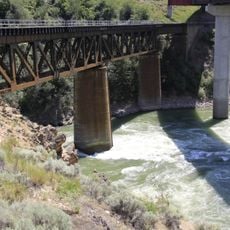
Lytton CNR Thompson Bridge
42.1 km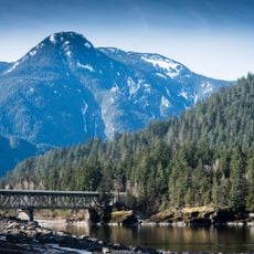
Water Avenue Bridge
55.1 km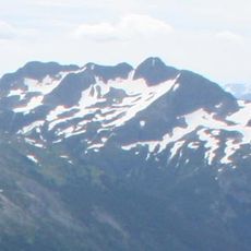
Bedded Range
49.1 km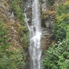
Rainbow Falls
59.3 km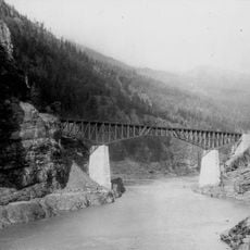
CPR Cisco Bridge
32.9 km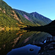
Silverhope Creek
56.7 km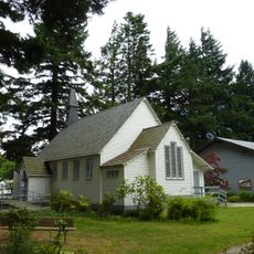
Christ Church
55.6 km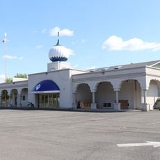
Merrit Sikh Temple
50.2 km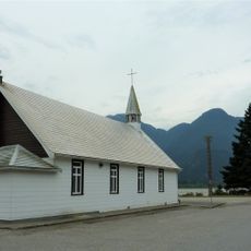
Our Lady of Good Hope Roman Catholic Church (Hope, British Columbia)
55.6 km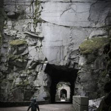
Othello Tunnels
55.8 km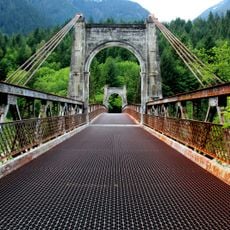
Alexandra Bridge (1926)
19.2 km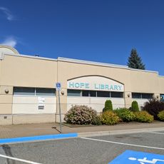
Hope Library
55.9 kmReviews
Visited this place? Tap the stars to rate it and share your experience / photos with the community! Try now! You can cancel it anytime.
Discover hidden gems everywhere you go!
From secret cafés to breathtaking viewpoints, skip the crowded tourist spots and find places that match your style. Our app makes it easy with voice search, smart filtering, route optimization, and insider tips from travelers worldwide. Download now for the complete mobile experience.

A unique approach to discovering new places❞
— Le Figaro
All the places worth exploring❞
— France Info
A tailor-made excursion in just a few clicks❞
— 20 Minutes