
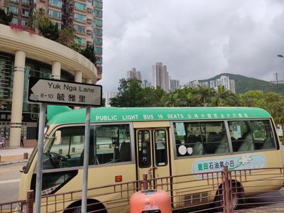
Yuk Nga Lane, street of Hong Kong
Location: Sai Kung District
Location: Hong Kong
GPS coordinates: 22.32417,114.25454
Latest update: October 26, 2025 00:01
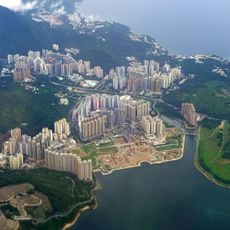
Tseung Kwan O New Town
2.3 km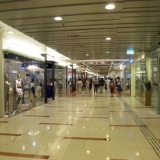
Metro Town
2.2 km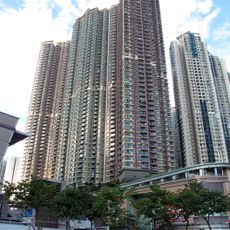
The Grandiose
1.8 km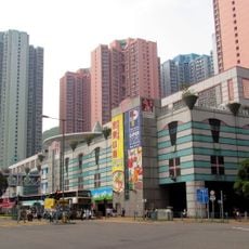
Sheung Tak Plaza
1.5 km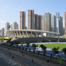
Tseung Kwan O Sports Ground
1.7 km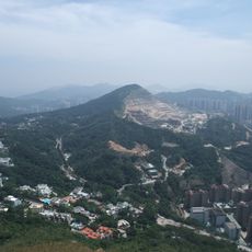
Anderson Road Quarry
2.1 km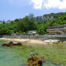
Silverstrand Beach
1.8 km
Sau Mau Ping Shopping Centre
2.4 km
Black Hill
1.9 km
Tiu Keng Leng Public Library
2 km
Observation Post at Mau Wu Shan
1.5 km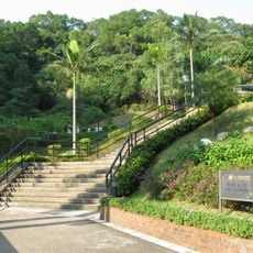
Lam Tin Park
2.1 km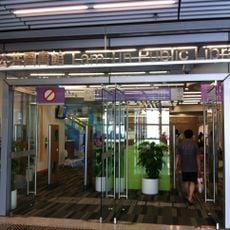
Lam Tin Public Library
2.4 km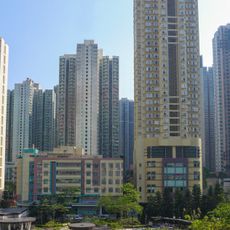
Jolly Place
1.6 km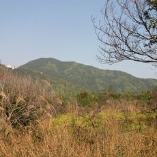
Razor Hill
1.7 km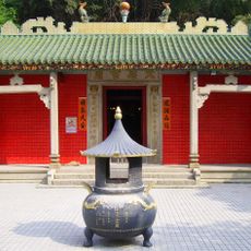
Tin Hau Temple, Hang Hau
1.9 km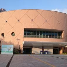
Tseung Kwan O Public Library
832 m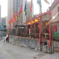
Tai Sing Fat Tong
2 km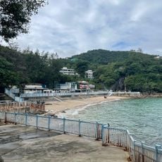
Silverstrand Beach
1.8 km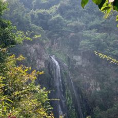
Pak Shui Wun
2.2 km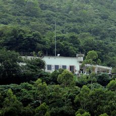
Former Tiu Keng Leng Police Station
1.7 km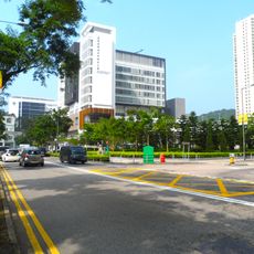
Pui Shing Road
1.5 km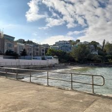
Bayside Beach
2.5 km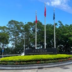
HKUST North Gate
1.8 km
One-World-Fountain
1.8 km
Red Bird
1.7 km
霍英東像 Statue of Fok Ying Tung
1.9 km
西貢清水灣牛尾海觀景圖 View of Clear Water Bay-Port Shelter
955 mReviews
Visited this place? Tap the stars to rate it and share your experience / photos with the community! Try now! You can cancel it anytime.
Discover hidden gems everywhere you go!
From secret cafés to breathtaking viewpoints, skip the crowded tourist spots and find places that match your style. Our app makes it easy with voice search, smart filtering, route optimization, and insider tips from travelers worldwide. Download now for the complete mobile experience.

A unique approach to discovering new places❞
— Le Figaro
All the places worth exploring❞
— France Info
A tailor-made excursion in just a few clicks❞
— 20 Minutes