Enable Location

We need your location to show you interesting places around you

Discover nearby places

Find interesting locations and hidden gems around you

Precise directions

Get accurate directions and distances to places

Your location is never shared with other users. It's only used when you tap the location button.

Gerstungen

Log in to your account

Start exploring — it's free

Trusted by 63,744 travelers worldwide

Continue with Google
Continue with Apple
or

We will send you a code to connect

By continuing, you accept our Terms and Conditions and our Privacy Policy

Check your inbox

We've sent a pincode in your inbox. Please enter the code below.

Discussion Reviews 1 Photos
16.7k Popularity

Gerstungen, municipality of Germany

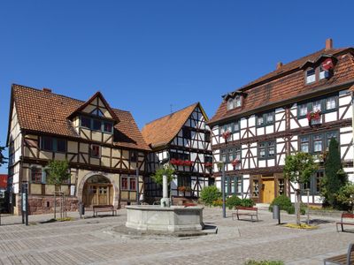
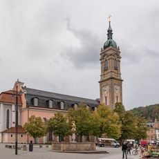
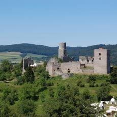
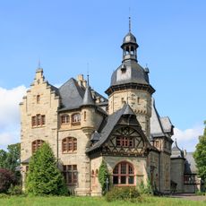
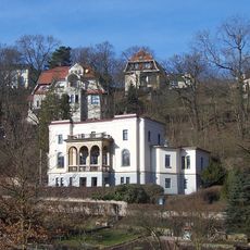
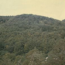
Gerstungen is a small municipality in Thuringia located in the center of Germany, made up of several villages and neighborhoods. The landscape features open fields, gentle hills, and forests typical of this region.

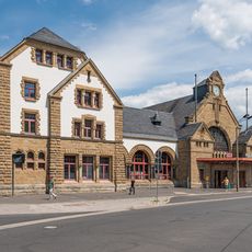
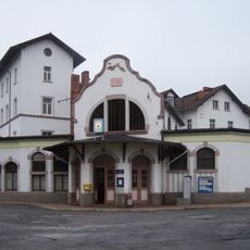
The region played an important role during Germany's division, with a pedestrian border crossing and a railway station connecting East and West Germany. After the fall of the Berlin Wall in 1989, the border crossing reopened and the municipality merged with neighboring areas.

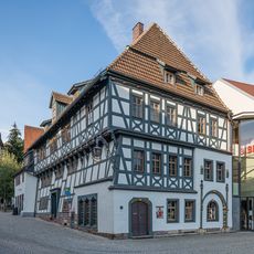
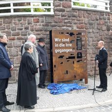
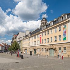
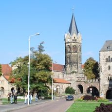
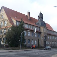
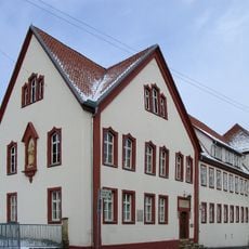
The town carries its name from an ancient settlement and is now seen as a place of memory connected to Germany's division. Visitors notice how the streets and community life reflect this past, especially through schools and museums that preserve these stories.

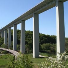
Visitors will find good transport connections with the A4 highway and the Werrabahn railway nearby, as well as access to the ICE fast train route between Frankfurt and Leipzig. Local museums, a library system, schools, and various recreational facilities offer activities for families and those interested in local history.

The Werra Bridge was destroyed in World War Two, but after the border opened in 1989, a temporary bridge was quickly built where thousands of people walked on foot into East Germany. This symbolic moment made the river crossing a memorable place of a reunited nation.

The community of curious travelers

AroundUs brings together thousands of curated places, local tips, and hidden gems, enriched daily by 60,000 contributors worldwide.

Start exploring
Location
Elevation above the sea
205 m
Shares border with
Werra-Suhl-Tal, Wildeck, Sontra, Herleshausen, Eisenach, Wutha-Farnroda, Ruhla, Bad Salzungen
GPS coordinates
50.96250,10.05972
Latest update
February 17, 2026 01:40
Reviews
Share your experience

No review yet

Discussions
Start a discussion...

No discussion yet

« Gerstungen - municipality of Germany » is provided by Around Us (aroundus.com). Images and texts are derived from Wikimedia project under a Creative Commons license. You are allowed to copy, distribute, and modify copies of this page, under the conditions set by the license, as long as this note is clearly visible.

Discover hidden gems everywhere you go!

From secret cafés to breathtaking viewpoints, skip the crowded tourist spots and find places that match your style. Our app makes it easy with voice search, smart filtering, route optimization, and insider tips from travelers worldwide. Download now for the complete mobile experience.

Around Us App Screenshot

A unique approach to discovering new places

Le Figaro

All the places worth exploring

France Info

A tailor-made excursion in just a few clicks

20 Minutes

Around Us
Travel Guide & Maps
Download

Send to your phone

QR Code
1

Open the camera app on your mobile.

2

Point at the QR code with your camera. A notification will appear.

3

Tap the notification to open the link.