
Adrar Tesno, mountain in Algeria
Location: Tamanrasset Province
GPS coordinates: 24.69280,4.64593
Latest update: April 10, 2025 14:53
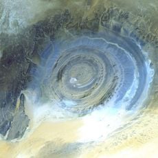
Richat Structure
1691.6 km
Chinguetti
1809.2 km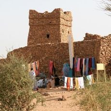
Ouadane
1719.6 km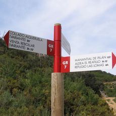
GR 7
1832.5 km
Naturland
1996.4 km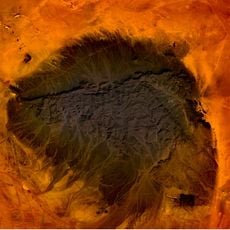
Kediet ej Jill
1769.1 km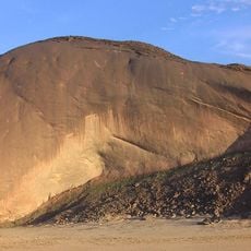
Ben Amera
1914.2 km
Chinguetti Mosque
1809.4 km
Aoukar Depression
1643.5 km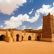
Ancient Ksour of Ouadane, Chinguetti, Tichitt and Oualata
1720 km
Terjit
1888.7 km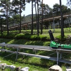
Tobotronc
1995.9 km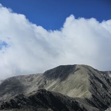
Pic de la Portelleta
1997.7 km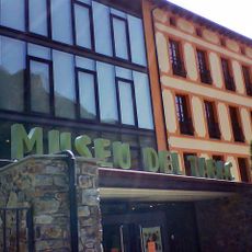
Museo del tabaco
1999.4 km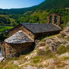
Església de Sant Miquel de Fontaneda
1998.7 km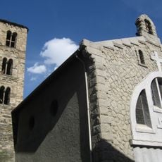
Església de Sant Julià i Sant Germà
1999.4 km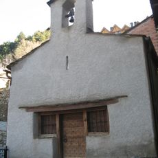
Església de Sant Pere d'Aixirivall
1999.1 km
Feixa del Moro
1996.7 km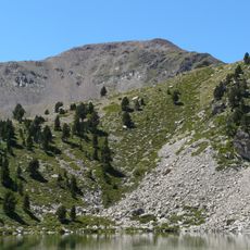
Monturull
1996.7 km
Pic de Setut
1997.9 km
Museu del Tabac - Antiga fàbrica Reig
1999.5 km
Tosseta de Vallcivera
1998.4 km
Pic del Sirvent
1998 km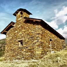
Sant Romà d'Aubinyà
1998.1 km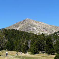
Tossal de la Truita
1997.6 km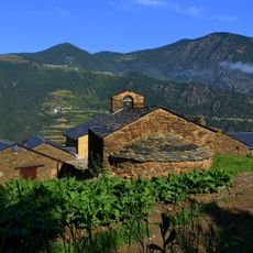
Sant Esteve de Juverri
1996.8 km
Roc Gros
1991.4 km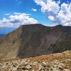
Tossal Bovinar
1997.4 kmReviews
Visited this place? Tap the stars to rate it and share your experience / photos with the community! Try now! You can cancel it anytime.
Discover hidden gems everywhere you go!
From secret cafés to breathtaking viewpoints, skip the crowded tourist spots and find places that match your style. Our app makes it easy with voice search, smart filtering, route optimization, and insider tips from travelers worldwide. Download now for the complete mobile experience.

A unique approach to discovering new places❞
— Le Figaro
All the places worth exploring❞
— France Info
A tailor-made excursion in just a few clicks❞
— 20 Minutes