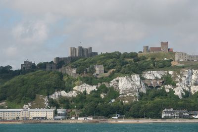
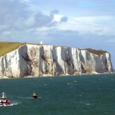
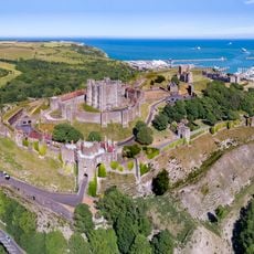
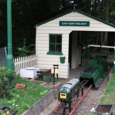
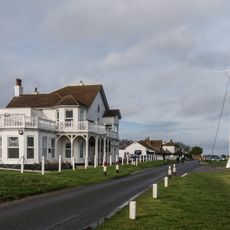
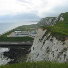
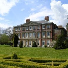
Dover, local government district in Kent, England, UK
Location: Kent
Inception: April 1, 1974
Capital city: Dover
Elevation above the sea: 120 m
Shares border with: River Stour
Website: http://dover.gov.uk
GPS coordinates: 51.13000,1.31100
Latest update: March 7, 2025 20:54
White Cliffs of Dover
3.3 km
Dover Castle
894 m
Royal St George's Golf Club
16.5 km
Walmer Castle
10.1 km
Deal Castle
11.8 km
Dubris
856 m
Howletts Wild Animal Park
18.9 km
Dover Bronze Age Boat
746 m
Broome Park
12.3 km
Lydden Hill Race Circuit
9.4 km
Dover Western Heights
745 m
Richborough Roman Fort
18.3 km
The Salutation, Sandwich
16.2 km
Battle of Britain Memorial, Capel-le-Ferne
8.1 km
East Kent Railway
8.5 km
Royal Cinque Ports Golf Club
13.5 km
Samphire Hoe Country Park
3 km
Wingham Wildlife Park
17.7 km
Goodnestone Park
13.9 km
Sandown Castle
13.6 km
Kent Battle of Britain Museum
11.3 km
Admiralty Pier Turret
2.1 km
Dover Museum
577 m
Dover Priory
458 m
Fan Bay Deep Shelter
3.6 km
St Mary sub Castro, Dover
911 m
Deal Timeball
12.1 km
Folkestone Castle
11.1 kmReviews
Visited this place? Tap the stars to rate it and share your experience / photos with the community! Try now! You can cancel it anytime.
Discover hidden gems everywhere you go!
From secret cafés to breathtaking viewpoints, skip the crowded tourist spots and find places that match your style. Our app makes it easy with voice search, smart filtering, route optimization, and insider tips from travelers worldwide. Download now for the complete mobile experience.
A unique approach to discovering new places❞
— Le Figaro
All the places worth exploring❞
— France Info
A tailor-made excursion in just a few clicks❞
— 20 Minutes